The University of Akron Wayne College
The University of Akron Wayne College is a college in Township of Green, Wayne, Ohio. The University of Akron Wayne College is situated nearby to the village Smithville.| Tap on a place to explore it |
Places of Interest Nearby
Highlights include Orrville High School and Oak Grove Mennonite Church.
Orrville High School
School
Orrville High School is a public high school in Orrville, Ohio. It is the only high school in the Orrville City School District. The school nickname is the Red Riders. Orrville High School is situated 1¼ miles southeast of The University of Akron Wayne College.
Oak Grove Mennonite Church
Church
Located in Smithville, Ohio, Oak Grove Mennonite Church is an historical church that has made a significant contribution to the larger Mennonite denomination, currently pastored by Seth Miller. Oak Grove Mennonite Church is situated 2½ miles west of The University of Akron Wayne College.
Places in the Area
Nearby places include Orrville and Smithville.
Orrville
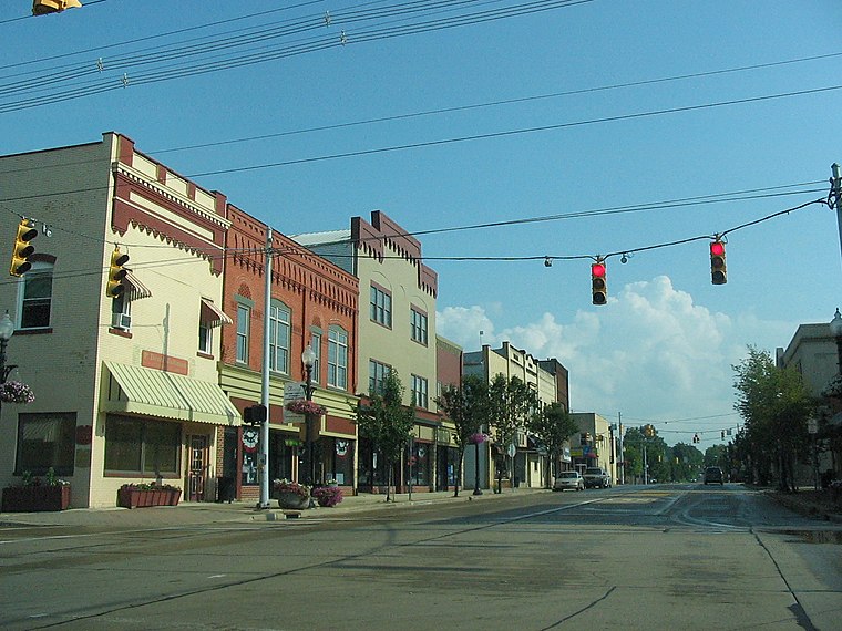
Photo: Ser Amantio di Nicolao, CC BY 3.0.
Orrville is a city in Wayne County in Northeast Ohio. Orrville is the corporate headquarters for The J.M. Smucker Company and its fruit spread producing facility, which Smucker's claims is the largest in the world.
Smithville
Village

Photo: KLOTZ, CC BY-SA 4.0.
Smithville is a village in Wayne County, Ohio, United States. The population was 1,338 at the time of the 2020 census. The village derives its name from Thomas Smith, a pioneer settler. Smithville is situated 4 miles west of The University of Akron Wayne College.
Marshallville

Photo: Roseohioresident, CC BY-SA 4.0.
Marshallville is a village in Wayne County, Ohio. The population was 789 at the time of the 2020 census. Marshallville was originally called Bristol, and under the latter name was laid out in 1817.
The University of Akron Wayne College
- Type: College
- Category: education
- Location: Township of Green, Wayne, Ohio, Midwest, United States, North America
- View on OpenStreetMap
Latitude
40.86299° or 40° 51′ 47″ northLongitude
-81.78904° or 81° 47′ 21″ westOpen location code
86GWV676+59OpenStreetMap ID
way 363537120OpenStreetMap feature
amenity=college
This page is based on OpenStreetMap, Wikidata, and Wikimedia Commons.
We’d love your help improving our open data sources. Thank you for contributing.
Satellite Map
Discover The University of Akron Wayne College from above in high-definition satellite imagery.
Notable Places Nearby
Highlights include Kapp-Gish Cemetery and Crown Hill Cemetery.
Nearby Places
Explore places such as Disability Parking and The University of Akron Wayne College.
Ohio: Must-Visit Destinations
Delve into Columbus, Cincinnati, Cleveland, and Bowling Green.
Curious Places to Discover
Uncover intriguing places from every corner of the globe.
About Mapcarta. Data © OpenStreetMap contributors and available under the Open Database License". Text is available under the CC BY-SA 4.0 license, except for photos, directions, and the map. Photo: Wikimedia, CC0.