Passeig de Sant Joan
Passeig de Sant Joan is in Eixample, Barcelona, Catalonia. Passeig de Sant Joan is situated nearby to the historic building Palau Macaya, as well as near the government office Consolat de Mongòlia.| Tap on a place to explore it |
Places of Interest Nearby
Highlights include Palau Macaya and Verdaguer station.

Verdaguer station
Metro station
 Verdaguer is a station in the Barcelona metro network located near Plaça de Mossèn Jacint Verdaguer, in the Eixample district. It is an important interchange station between Line 4 and Line 5.
Monument a Mossèn Jacint Verdaguer
Work of art

Photo: Archaeodontosaurus, CC BY-SA 4.0.
Monument a Mossèn Jacint Verdaguer is a work of art.
Places in the Area
Nearby places include Dreta de l’Eixample and Camp d’en Grassot i Gràcia Nova.
Dreta de l’Eixample
Quarter

Photo: PepPepet, CC BY-SA 3.0.
Dreta de l'Eixample is a neighborhood in the Eixample district of Barcelona, Catalonia. It is located to the east of Carrer de Balmes. The neighborhood includes Plaça de Catalunya, the city center, as well as the upscale streets Rambla de Catalunya and Passeig de Gràcia.
Camp d’en Grassot i Gràcia Nova
Neighborhood

Photo: Amadalvarez, CC BY 3.0.
El Camp d'en Grassot i Gràcia Nova is a borough in the city of Barcelona in Catalonia in Spain. It is part of the district of Gràcia.
Sagrada Família
Quarter
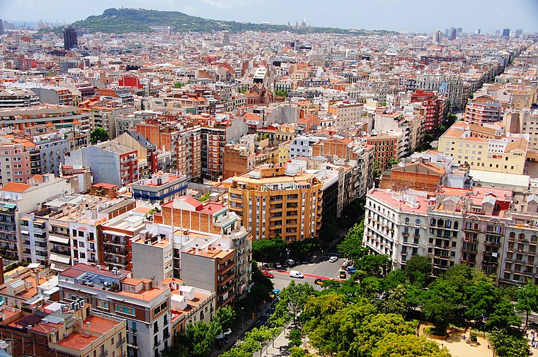
Photo: Martin Abegglen, CC BY-SA 2.0.
Sagrada Família is a neighborhood in the Eixample district of Barcelona, Catalonia. Its name comes from the church of the Sagrada Família, work of Antoni Gaudí, which can be found in the center of the neighborhood.
Passeig de Sant Joan
- Type: Pedestrian zone
- Location: Eixample, Barcelona, Barcelona, Catalonia, Eastern Spain, Spain, Iberia, Europe
- View on OpenStreetMap
Latitude
41.3997° or 41° 23′ 59″ northLongitude
2.16919° or 2° 10′ 9″ eastOpen location code
8FH495X9+VMOpenStreetMap ID
way 373404059OpenStreetMap feature
highway=pedestrian
This page is based on OpenStreetMap, Wikidata, and Wikimedia Commons.
We’d love your help improving our open data sources. Thank you for contributing.
Satellite Map
Discover Passeig de Sant Joan from above in high-definition satellite imagery.
In Other Languages
“Passeig de Sant Joan” goes by many names.
- Catalan: “Passeig de Sant Joan”
Notable Places Nearby
Highlights include Consolat de Mongòlia and Jardins d’Agustí Centelles.
Nearby Places
Explore places such as Cliniques dh and Milfulles.
Barcelona: Must-Visit Destinations
Delve into Ciutat Vella, Gràcia, Sants-Montjuïc, and Sant Martí.
Curious Places to Discover
Uncover intriguing places from every corner of the globe.
About Mapcarta. Data © OpenStreetMap contributors and available under the Open Database License". Text is available under the CC BY-SA 4.0 license, except for photos, directions, and the map. Photo: Armigo, CC BY-SA 3.0.