Hegelsberghalle
Hegelsberghalle is a sports venue in Griesheim, Darmstadt-Dieburg, Hesse which is located on Sterngasse. Hegelsberghalle is situated nearby to the playground Spielplatz an der Schillerschule, as well as near the sports venue Sportclub Viktoria 06 Griesheim.| Tap on a place to explore it |
- Type: Sports venue
- Address: Sterngasse 75, Griesheim, 64347
- Roof shape: flat
Places of Interest Nearby
Highlights include Griesheim Airport and Ehemaliger August-Euler-Flugplatz von Darmstadt.
Griesheim Airport
Aerodrome
 Griesheim Airport is a private airfield in Germany, located 1-mile southwest of Griesheim; approximately 270 miles southwest of Berlin. Formerly a NATO military airfield, it was closed in 1992.
Ehemaliger August-Euler-Flugplatz von Darmstadt
Nature reserve

Photo: Störfix, CC BY-SA 3.0 de.
Ehemaliger August-Euler-Flugplatz von Darmstadt is a nature reserve.
Griesheimer Düne und Eichwäldchen
Nature reserve
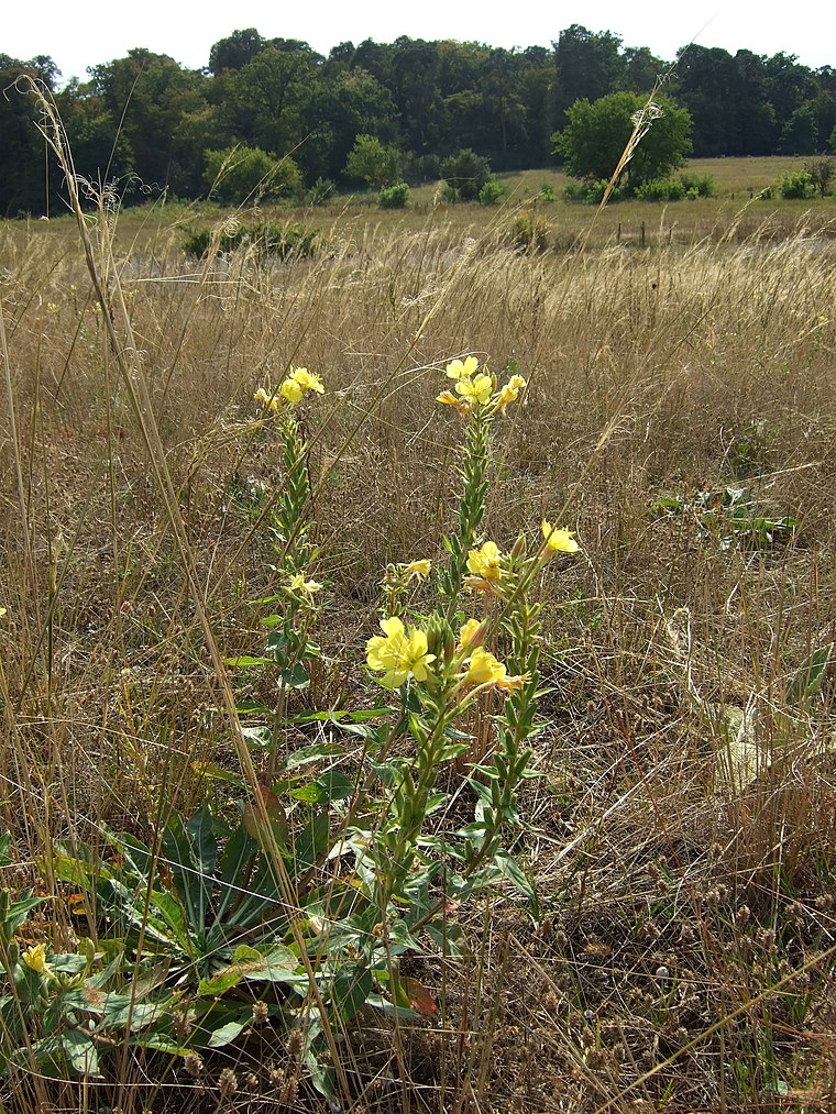
Photo: Thiotrix, CC BY-SA 3.0.
Griesheimer Düne und Eichwäldchen is a nature reserve.
Places in the Area
Nearby places include Riedbahn and Steubenplatz.
Riedbahn
Suburb

Photo: Bjoertvedt, CC BY-SA 4.0.
Riedbahn is a suburb, which is situated 5 km northeast of Hegelsberghalle.
Steubenplatz
Locality

Photo: Erkaha, CC BY-SA 4.0.
Steubenplatz is a locality, which is situated 6 km east of Hegelsberghalle.
St.-Barbara-Siedlung
Neighborhood

Photo: Jolly Lobster, CC BY-SA 4.0.
St.-Barbara-Siedlung is a neighborhood, which is situated 6 km southeast of Hegelsberghalle.
Hegelsberghalle
- Categories: building, public building, recreation area, and sports location
- Location: Griesheim, Darmstadt-Dieburg, South Hesse, Hesse, Germany, Central Europe, Europe
- View on OpenStreetMap
Latitude
49.85531° or 49° 51′ 19″ northLongitude
8.56679° or 8° 34′ 0″ eastOpen location code
8FXCVH48+4POpenStreetMap ID
way 374807456OpenStreetMap feature
building=civicOpenStreetMap feature
leisure=sports_centreOpenStreetMap feature
sport=multiOpenStreetMap attribute
roof-shape=flat
This page is based on OpenStreetMap, Wikidata, and Wikimedia Commons.
We’d love your help improving our open data sources. Thank you for contributing.
Satellite Map
Discover Hegelsberghalle from above in high-definition satellite imagery.
Notable Places Nearby
Highlights include Spielplatz an der Schillerschule and Sportclub Viktoria 06 Griesheim.
Nearby Places
Explore places such as Schülerstraße and Festplatz.
South Hesse: Must-Visit Destinations
Delve into Darmstadt, Bensheim, Lorsch, and Heppenheim.
Curious Sports Venues to Discover
Uncover intriguing sports venues from every corner of the globe.
About Mapcarta. Data © OpenStreetMap contributors and available under the Open Database License". Text is available under the CC BY-SA 4.0 license, except for photos, directions, and the map. Photo: Mylius, GFDL.