Colegio de Ingenieros y Arquitectos
Colegio de Ingenieros y Arquitectos is a college in Barinas Municipality, Venezuela. Colegio de Ingenieros y Arquitectos is situated nearby to the food court Puestos de Comida Rápida Punto Fresco, as well as near the convention center Auditorio PDVSA.| Tap on a place to explore it |
Places of Interest Nearby
Highlights include Barinas Airport and Estadio Agustín Tovar.
Barinas Airport
Aerodrome
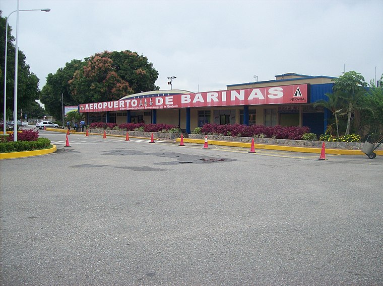
Photo: Geliersanta, Public domain.
Barinas Airport is an airport serving Barinas, the capital of the Venezuelan state of Barinas. The Runway 13 length includes a 300 metres displaced threshold. The Barinas VOR-DME and non-directional beacon are located on the field. Barinas Airport is situated 3 km east of Colegio de Ingenieros y Arquitectos.
Estadio Agustín Tovar
Stadium
Estadio Agustín Tovar, also known as Estadio La Carolina, is a multi-purpose stadium in Barinas, Venezuela. It is currently used mostly for football matches and it is the home stadium of Zamora FC. Estadio Agustín Tovar is situated 4 km east of Colegio de Ingenieros y Arquitectos.
Colegio de Ingenieros y Arquitectos
- Type: College
- Category: education
- Location: Barinas Municipality, Barinas, Venezuela, South America
- View on OpenStreetMap
Latitude
8.61424° or 8° 36′ 51″ northLongitude
-70.24157° or 70° 14′ 30″ westOpen location code
67WFJQ75+M9OpenStreetMap ID
way 375574263OpenStreetMap feature
amenity=college
This page is based on OpenStreetMap, Wikidata, and Wikimedia Commons.
We’d love your help improving our open data sources. Thank you for contributing.
Satellite Map
Discover Colegio de Ingenieros y Arquitectos from above in high-definition satellite imagery.
Notable Places Nearby
Highlights include Puestos de Comida Rápida Punto Fresco and Auditorio PDVSA.
Nearby Places
Explore places such as Colegio de Abogados and Colegio de Medicos.
Venezuela: Must-Visit Destinations
Delve into Caracas, Mérida, Maracaibo, and Táchira.
Curious Colleges to Discover
Uncover intriguing colleges from every corner of the globe.
About Mapcarta. Data © OpenStreetMap contributors and available under the Open Database License". Text is available under the CC BY-SA 4.0 license, except for photos, directions, and the map. Photo: Guarinorino, CC BY-SA 3.0.