SpVgg Schirmitz
SpVgg Schirmitz is a sports venue in Schirmitz, Neustadt an der Waldnaab, Bavaria. SpVgg Schirmitz is situated nearby to the pitch A-Platz, as well as near B-Platz.| Tap on a place to explore it |
Places of Interest Nearby
Highlights include St. Johannes and Weiden (Oberpf).
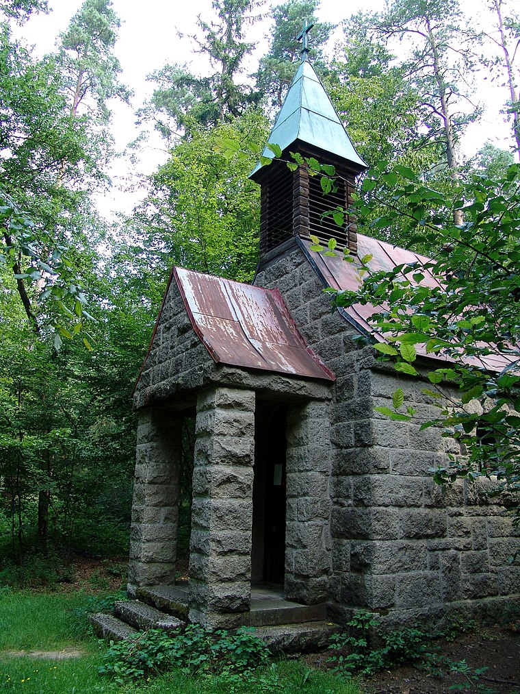
St. Johannes
Church

Photo: Subbass1, CC BY-SA 4.0.
St. Johannes is a church, which is situated 1½ km west of SpVgg Schirmitz.
Weiden (Oberpf)
Railway station

Photo: Roehrensee, CC BY-SA 4.0.
Weiden (Oberpf) is a railway station, which is situated 2 km north of SpVgg Schirmitz.
Heilige Staude
Church
 Heilige Staude is a church, which is situated 2 km northeast of SpVgg Schirmitz.
Places in the Area
Nearby places include Weiden in der Oberpfalz and Rothenstadt.
Weiden in der Oberpfalz
Town
 Weiden in der Oberpfalz is a district-free town in Bavaria, Germany. It is located 100 km east of Nuremberg and 35 km west of the Czech border. Weiden is the second biggest town in the governmental district Oberpfalz after Regensburg.


SpVgg Schirmitz
- Type: Sports venue
- Categories: recreation area and sports location
- Location: Schirmitz, Neustadt an der Waldnaab, Upper Palatinate, Bavaria, Germany, Central Europe, Europe
- View on OpenStreetMap
Latitude
49.65414° or 49° 39′ 15″ northLongitude
12.16425° or 12° 9′ 51″ eastOpen location code
8FXJM537+MPOpenStreetMap ID
way 378438265OpenStreetMap feature
leisure=sports_centreOpenStreetMap feature
sport=multi
This page is based on OpenStreetMap, Wikidata, and Wikimedia Commons.
We’d love your help improving our open data sources. Thank you for contributing.
Satellite Map
Discover SpVgg Schirmitz from above in high-definition satellite imagery.
Notable Places Nearby
Highlights include A-Platz and B-Platz.
Nearby Places
Explore places such as Sportheim and Koller.
Upper Palatinate: Must-Visit Destinations
Delve into Regensburg, Amberg, Cham, and Schwandorf.
Curious Sports Venues to Discover
Uncover intriguing sports venues from every corner of the globe.
About Mapcarta. Data © OpenStreetMap contributors and available under the Open Database License". Text is available under the CC BY-SA 4.0 license, except for photos, directions, and the map. Photo: Wikimedia, CC0.