Ratsbauhof
Ratsbauhof is a building in Hildesheim, Hanover Region, Lower Saxony. Ratsbauhof is situated nearby to the government office Hildesheim Marketing, as well as near Pferdemarkt.| Tap on a place to explore it |
Places of Interest Nearby
Highlights include Hildesheim Town Hall and St. Andreas.
Hildesheim Town Hall
Town hall

Photo: Sekrus, CC BY-SA 4.0.
Hildesheim Town Hall is situated 180 metres northwest of Ratsbauhof.
St. Andreas
Church

Photo: Wikimedia, CC BY-SA 3.0.
The church of St. Andreas is the principal Lutheran church of Hildesheim, Germany, not to be confounded with the Catholic Hildesheim Cathedral. Its tower is 114.5 metres tall, making it the tallest church tower in Lower Saxony; it is accessible and offers a panoramic view of both the city and surrounding countryside. St. Andreas is situated 250 metres west of Ratsbauhof.
Historic Market Place, Hildesheim
 The Historic Market Place is a historical structure in the city of Hildesheim in Lower Saxony, Germany. Historic Market Place, Hildesheim is situated 190 metres northwest of Ratsbauhof.
Places in the Area
Nearby places include Moritzberg and Barienrode.
Moritzberg
Neighborhood
Moritzberg is a quarter in the city of Hildesheim in Lower Saxony, Germany. It is on a hill in the west of the city, about a mile from the Cathedral. It was an independent market town until 1911.
Barienrode
Village

Photo: Torbenbrinker, CC BY-SA 3.0.
Barienrode is a village, which is situated 4½ km south of Ratsbauhof.
Asel (Harsum)
Village
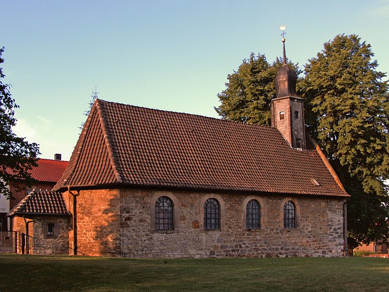
Photo: Kirchenfan, CC0.
Asel (Harsum) is a village, which is situated 4½ km north of Ratsbauhof.
Ratsbauhof
- Type: Commercial building
- Wheelchair access: yes
- Categories: building and office
- Location: Hildesheim, Hildesheim, Hanover Region, Lower Saxony, Germany, Central Europe, Europe
- View on OpenStreetMap
Latitude
52.15142° or 52° 9′ 5″ northLongitude
9.95366° or 9° 57′ 13″ eastOpen location code
9F4F5X23+HFOpenStreetMap ID
way 38424186OpenStreetMap feature
building=commercialOpenStreetMap attribute
wheelchair=yes
This page is based on OpenStreetMap, Wikidata, and Wikimedia Commons.
We’d love your help improving our open data sources. Thank you for contributing.
Satellite Map
Discover Ratsbauhof from above in high-definition satellite imagery.
Notable Places Nearby
Highlights include Hildesheim Marketing and Pferdemarkt.
Nearby Places
Explore places such as Dr. Winkler, Dr. Albrecht and Dr. Hundertmark.
Hanover Region: Must-Visit Destinations
Delve into Hanover, Nienburg, Verden an der Aller, and Alfeld.
Curious Places to Discover
Uncover intriguing places from every corner of the globe.
About Mapcarta. Data © OpenStreetMap contributors and available under the Open Database License". Text is available under the CC BY-SA 4.0 license, except for photos, directions, and the map. Photo: Mey2008, CC BY-SA 3.0.