St. Vitus
St. Vitus is a church in Unstruttal, Unstrut-Hainich-Kreis, Thuringia which is located on Herrenstraße. St. Vitus is situated nearby to the park Anger, as well as near the town hall Gemeinde Unstruttal.| Tap on a place to explore it |
Photo: Kartenlaser, CC BY-SA 4.0.
Photo: ErwinMeier, CC BY-SA 4.0.
- Type: Church
- Denomination: Lutheran
- Also known as: “Sankt Vitus”
- Address: Herrenstraße, Ammern, Unstruttal, 99996
Places of Interest Nearby
Highlights include Ammern railway station and Stausee Sambach.
Ammern railway station
Railway stop

Photo: Kartenlaser, CC BY-SA 4.0.
Ammern railway station is a railway stop, which is situated 660 metres east of St. Vitus.

St. Mary’s Church, Mühlhausen

Photo: CTHOE, CC BY-SA 3.0.
St. Mary's Church in the town of Mühlhausen, central Germany, is the second-largest church building in Thuringia after Erfurt Cathedral. It was constructed mainly during the 14th century in the Gothic style. St. Mary’s Church, Mühlhausen is situated 3 km south of St. Vitus.
Places in the Area
Nearby places include Ammern and Reiser.


Mühlhausen
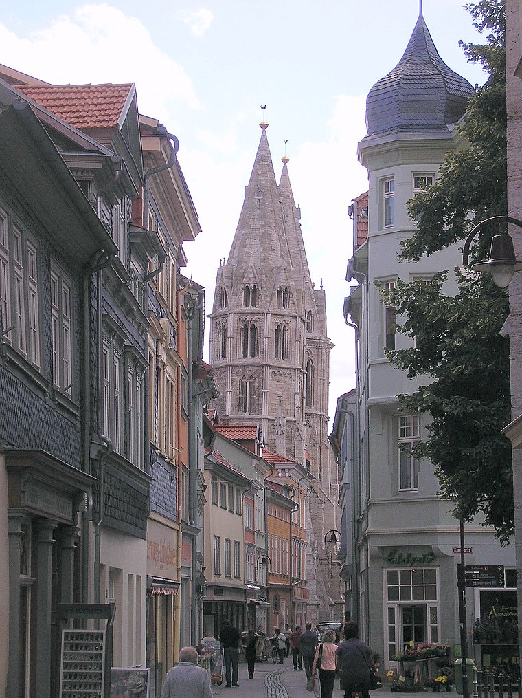
Photo: Michael Sander, CC BY-SA 3.0.
Mühlhausen is a town in the northwest of Thuringia, Germany, 5 km north of Niederdorla, the country's geographical centre, 50 km north-west of Erfurt, 65 km east of Kassel and 50 km south-east of Göttingen.
St. Vitus
- Categories: choir tower church, building, place of worship, and religion
- Location: Unstruttal, Unstrut-Hainich-Kreis, Thuringia, Germany, Central Europe, Europe
- View on OpenStreetMap
Latitude
51.23524° or 51° 14′ 7″ northLongitude
10.44915° or 10° 26′ 57″ eastOpen location code
9F3G6CPX+3MOpenStreetMap ID
way 385917085OpenStreetMap feature
amenity=place_of_worshipOpenStreetMap feature
building=churchOpenStreetMap attribute
denomination=lutheranWikidata ID
Q16218453
This page is based on OpenStreetMap, Wikidata, and Wikimedia Commons.
We’d love your help improving our open data sources. Thank you for contributing.
Satellite Map
Discover St. Vitus from above in high-definition satellite imagery.
In Other Languages
“St. Vitus” goes by many names.
- German: “Evangelische Kirche St. Vitus (Ammern, Unstrut-Hainich-Kreis)”
- German: “Kirche St. Vitus (Ammern, Unstrut-Hainich-Kreis)”
- German: “Sankt Vitus (Ammern, Unstrut-Hainich-Kreis)”
- German: “St. Vitus”
Places with the Same Name
Discover other places named “St. Vitus”.
Notable Places Nearby
Highlights include Anger and Gemeinde Unstruttal.
Nearby Places
Explore places such as Bärenstübchen and Am Mühlgraben.
Curious Churches to Discover
Uncover intriguing churches from every corner of the globe.
About Mapcarta. Data © OpenStreetMap contributors and available under the Open Database License". Text is available under the CC BY-SA 4.0 license, except for photos, directions, and the map. Photo: Kartenlaser, CC BY-SA 4.0.