Endiverie de Soyécourt
Endiverie de Soyécourt is a factory in Soyécourt, Arrondissement of Péronne, Hauts-de-France. Endiverie de Soyécourt is situated nearby to the town hall Mairie de Soyécourt, as well as near the community center Salle paroissiale.| Tap on a place to explore it |
Places of Interest Nearby
Highlights include Église Saint-Martial de Soyécourt and Vermandovillers German war cemetery.
Église Saint-Martial de Soyécourt
Church

Photo: Ybroc, CC BY-SA 4.0.
Église Saint-Martial de Soyécourt is a church, which is situated 750 metres northwest of Endiverie de Soyécourt.
Vermandovillers German war cemetery
Cemetery

Photo: Bycro, CC BY-SA 4.0.
Vermandovillers German war cemetery contains remains of 22,632 soldiers who died in World War I. It is located in Somme Département, France and is cared for by the German War Graves Commission. Vermandovillers German war cemetery is situated 1½ km southwest of Endiverie de Soyécourt.
Église Saint-Martin de Vermandovillers
Church

Photo: Ybroc, CC BY-SA 4.0.
Église Saint-Martin de Vermandovillers is a church, which is situated 1½ km southwest of Endiverie de Soyécourt.
Places in the Area
Nearby places include Foucaucourt-en-Santerre and Villers-Carbonnel.
Foucaucourt-en-Santerre
Village

Photo: APictche, CC BY-SA 4.0.
Foucaucourt-en-Santerre is a commune in the Somme department in Hauts-de-France in northern France.
Villers-Carbonnel
Village

Photo: Markus3, CC BY-SA 3.0.
Villers-Carbonnel is a commune in the Somme department in Hauts-de-France in northern France. Villers-Carbonnel is situated 7 km east of Endiverie de Soyécourt.
Puzeaux
Village
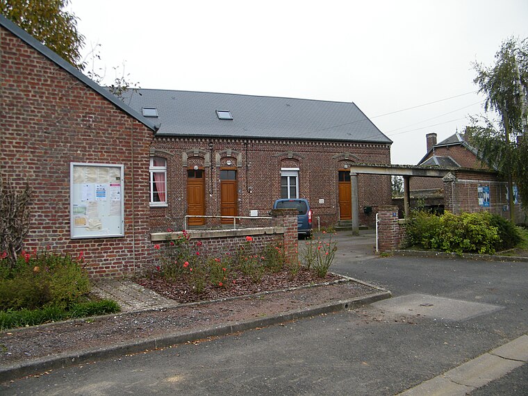
Photo: APictche, CC BY-SA 4.0.
Puzeaux is a commune in the Somme department in Hauts-de-France in northern France. Puzeaux is situated 7 km south of Endiverie de Soyécourt.
Endiverie de Soyécourt
- Type: Factory
- Categories: building and industry
- Location: Soyécourt, Arrondissement of Péronne, Somme, Hauts-de-France, France, Europe
- View on OpenStreetMap
Latitude
49.86122° or 49° 51′ 40″ northLongitude
2.8007° or 2° 48′ 3″ eastOpen location code
8FX4VR62+F7OpenStreetMap ID
way 386748676OpenStreetMap feature
building=yesOpenStreetMap feature
man_made=works
This page is based on OpenStreetMap, Wikidata, and Wikimedia Commons.
We’d love your help improving our open data sources. Thank you for contributing.
Satellite Map
Discover Endiverie de Soyécourt from above in high-definition satellite imagery.
Notable Places Nearby
Highlights include Mairie de Soyécourt and Salle paroissiale.
Nearby Places
Explore places such as CEGBT and École maternelle les Pervenches.
Hauts-de-France: Must-Visit Destinations
Delve into Lille, Dunkirk, Calais, and Amiens.
Curious Factories to Discover
Uncover intriguing factories from every corner of the globe.
About Mapcarta. Data © OpenStreetMap contributors and available under the Open Database License". Text is available under the CC BY-SA 4.0 license, except for photos, directions, and the map. Photo: Inkey, Public domain.