Gas Chamber/Crematory I
Gas Chamber/Crematory I is a building in Gmina Oświęcim, Oświęcim County, Małopolskie. Gas Chamber/Crematory I is situated nearby to the historic building Block 22, as well as near Camp administration.| Tap on a place to explore it |
Photo: Wikimedia, CC BY-SA 3.0.
- Type: Building
- Also known as: “Auschwitz I crematorium” and “Komora gazowa/Krematorium I”
- Roof shape: flat
Places of Interest Nearby
Highlights include Block 10 Medical ‘Experiments’ and Block 11 Inner prison ‘Block of death’.
Block 10 Medical ‘Experiments’
Historic building

Photo: VbCrLf, CC BY-SA 4.0.
Block 10 was a barrack at the Auschwitz concentration camp where men and women were used as experimental subjects for Nazi doctors. The experiments in Block 10 tested bodily reactions to various substances, ranging from no effect to sterilization. Block 10 Medical ‘Experiments’ is situated 320 metres south of Gas Chamber/Crematory I.
Block 11 Inner prison ‘Block of death’
Historic building
Block 11 was the name of a brick building in Auschwitz I, the Stammlager or main camp of the Auschwitz concentration camp network. This block was used for executions and torture. Block 11 Inner prison ‘Block of death’ is situated 350 metres south of Gas Chamber/Crematory I.
Execution wall
Memorial

Photo: Superchilum, CC BY-SA 4.0.
Execution wall is a memorial, which is situated 340 metres south of Gas Chamber/Crematory I.
Places in the Area
Nearby places include Oświęcim and Brzezinka.
Oświęcim

Photo: Lankhorst, CC BY-SA 3.0.
Oświęcim is a town in Małopolskie Province in southern Poland, 60 km west of Kraków. It's better known by its German name of Auschwitz, and from 1940 to 1945 over a million people, mostly Jews, were slain in the nearby camps.
Brzezinka
Village
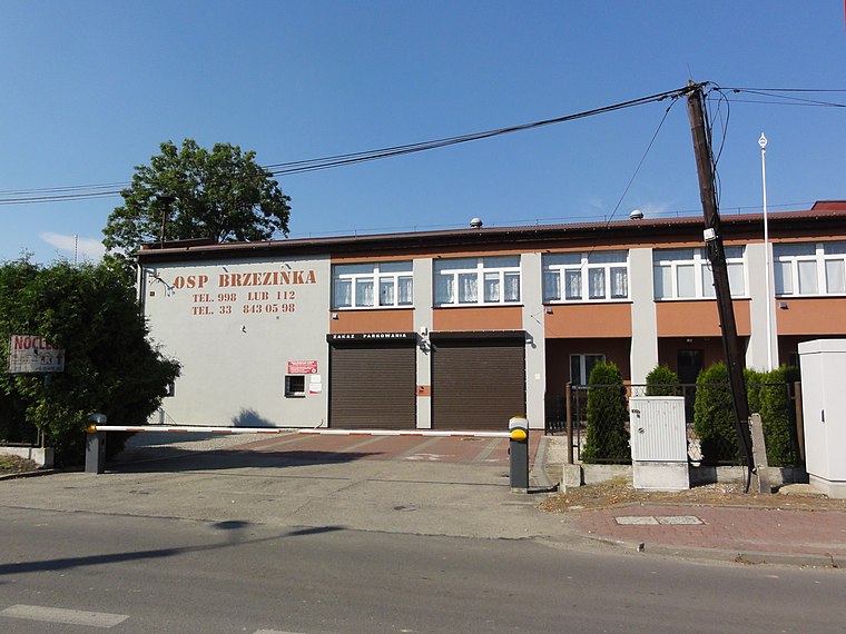
Photo: D T G, CC BY-SA 4.0.
Brzezinka is a village in southern Poland, about 3 kilometres from Oświęcim, in the district of Gmina Oświęcim, Oświęcim County, Lesser Poland Voivodeship.
Rajsko
Village

Photo: Wikimedia, CC BY-SA 3.0 pl.
Rajsko is a village in the administrative district of Gmina Oświęcim, within Oświęcim County, Lesser Poland Voivodeship, in southern Poland.
Gas Chamber/Crematory I
- Categories: crematorium, gas chamber, and historic site
- Location: Gmina Oświęcim, Oświęcim County, Małopolskie, Poland, Central Europe, Europe
- View on OpenStreetMap
Latitude
50.02813° or 50° 1′ 41″ northLongitude
19.20492° or 19° 12′ 18″ eastLevels
1Open location code
9F2X26H3+7XOpenStreetMap ID
way 387824039OpenStreetMap feature
building=crematoryOpenStreetMap feature
historic=crematoryOpenStreetMap feature
man_made=kilnOpenStreetMap attribute
roof-shape=flatWikidata ID
Q81797420
This page is based on OpenStreetMap, Wikidata, and Wikimedia Commons.
We’d love your help improving our open data sources. Thank you for contributing.
Satellite Map
Discover Gas Chamber/Crematory I from above in high-definition satellite imagery.
In Other Languages
From Belarusian to Italian—“Gas Chamber/Crematory I” goes by many names.
- Belarusian: “Газавая камера/Крэматорый”
- Dutch: “Crematorium I”
- German: “Gaskammer/Krematorium I”
- Hungarian: “Gázkamra / I. krematórium”
- Italian: “Camera a gas/Crematorio I”
Notable Places Nearby
Highlights include Camp administration and Block 22.
Nearby Places
Explore places such as SS infirmary and Roll-call booth.
Małopolskie: Must-Visit Destinations
Delve into Kraków, Auschwitz-Birkenau, Oświęcim, and Zakopane.
Curious Buildings to Discover
Uncover intriguing buildings from every corner of the globe.
About Mapcarta. Data © OpenStreetMap contributors and available under the Open Database License". Text is available under the CC BY-SA 4.0 license, except for photos, directions, and the map. Photo: Wikimedia, CC BY-SA 3.0.