Heinrich-Karsch-Haus
Heinrich-Karsch-Haus is a building in Suderburg, Uelzen, Lower Saxony which is located on Bauernstraße. Heinrich-Karsch-Haus is situated nearby to the garden (30) Hausgarten, Anlage entsprechend der Zeit um 1900, as well as near the archaeological site Großsteingräber bei Lehmke.| Tap on a place to explore it |
- Type: Building
- Address: Bauernstraße 13, Hösseringen, Suderburg, 29556
- Roof shape: gabled
Places of Interest Nearby
Highlights include Hösseringen Museum Village and Hösseringen Observation Tower.
Hösseringen Museum Village
Theme park

Photo: Bermicourt, CC BY 3.0.
The Hösseringen Museum Village is located at Hösseringen in the German state of Lower Saxony. Covering an area of 10,000 square metres, it displays important examples of the Lower German, timber-framed, open-hall house, the so-called Low German house or Fachhallenhaus. Hösseringen Museum Village is situated 1 km southwest of Heinrich-Karsch-Haus.
Hösseringen Observation Tower
Scenic viewpoint

Photo: Oxfordian Kissuth, CC BY-SA 3.0.
Hösseringen Observation Tower is a scenic viewpoint, which is situated 1½ km north of Heinrich-Karsch-Haus.

Places in the Area
Nearby places include Hösseringen and Eschede-Weyhausen.
Hösseringen
Village

Photo: Ohndo, CC BY-SA 4.0.
Hösseringen is a village in the collective municipality of Suderburg and lies southwest of Uelzen in the German state of Lower Saxony.
Eschede-Weyhausen
Village

Photo: Hajotthu, CC BY-SA 3.0.
Eschede-Weyhausen is a village, which is situated 7 km south of Heinrich-Karsch-Haus.
Unterlüß
Village
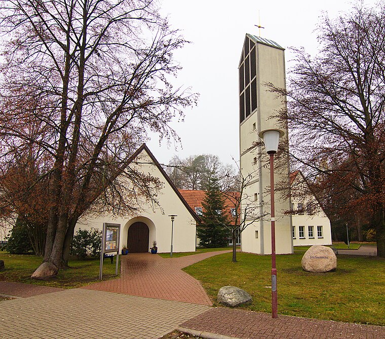
Photo: Losch, CC BY-SA 3.0.
Unterlüß is a village and former municipality in the district of Celle in Lower Saxony, Germany. It became part of the municipality of Südheide on 1 January 2015. Unterlüß is situated 8 km west of Heinrich-Karsch-Haus.
Heinrich-Karsch-Haus
- Location: Suderburg, Uelzen, Lower Saxony, Germany, Central Europe, Europe
- View on OpenStreetMap
Latitude
52.85121° or 52° 51′ 4″ northLongitude
10.41446° or 10° 24′ 52″ eastLevels
1Open location code
9F4GVC27+FQOpenStreetMap ID
way 390310724OpenStreetMap feature
building=bungalowOpenStreetMap attribute
roof-shape=gabled
This page is based on OpenStreetMap, Wikidata, and Wikimedia Commons.
We’d love your help improving our open data sources. Thank you for contributing.
Satellite Map
Discover Heinrich-Karsch-Haus from above in high-definition satellite imagery.
Notable Places Nearby
Highlights include (30) Hausgarten, Anlage entsprechend der Zeit um 1900 and Großsteingräber bei Lehmke.
Nearby Places
Explore places such as Beautyfarm Bötzelberg and Kuhstall.
Lower Saxony: Must-Visit Destinations
Delve into Hanover, Göttingen, Brunswick, and Wolfsburg.
Curious Buildings to Discover
Uncover intriguing buildings from every corner of the globe.
About Mapcarta. Data © OpenStreetMap contributors and available under the Open Database License". Text is available under the CC BY-SA 4.0 license, except for photos, directions, and the map. Photo: Danapit, CC BY-SA 3.0.