Classic Jet Center
Classic Jet Center is a hangar in City of Willoughby, Lake County, Ohio which is located on Lost Nation Road. Classic Jet Center is situated nearby to Fire Station 2, as well as near the sports venue Lost Nation Sports Park.| Tap on a place to explore it |
Places of Interest Nearby
Highlights include Willoughby Lost Nation Municipal Airport.
Willoughby Lost Nation Municipal Airport
Aerodrome
Lake County Executive Airport, formerly Lost Nation Airport, is a public use airport in Lake County, Ohio, United States. Located approximately 3 miles north-northeast of the central business district of the City of Willoughby, it was owned and operated by that city until October 8, 2014, when it was transferred to Lake County and the Lake County Port and Economic Development Authority.
Places in the Area
Nearby places include Timberlake and Mentor-on-the-Lake.
Timberlake
Village
Timberlake is a village in Lake County, Ohio, United States. The population was 629 at the 2020 census. Timberlake is situated 2½ miles southwest of Classic Jet Center.
Mentor-on-the-Lake
Village
Mentor-on-the-Lake is a city in Lake County, Ohio, United States. The population was 7,131 at the 2020 census. Mentor-on-the-Lake is situated 2½ miles northeast of Classic Jet Center.
Willoughby
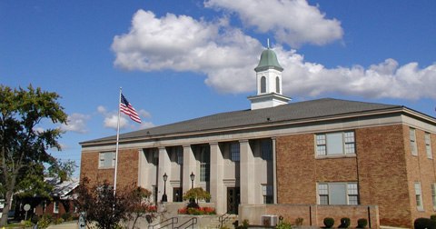
Photo: Daveku, Public domain.
Willoughby is a city in Lake County, Ohio, United States, along the Chagrin River. The population was 23,959 at the time of the 2020 census. A suburb of Cleveland, it is part of the Cleveland metropolitan area.
Classic Jet Center
- Type: Hangar
- Address: 1969 Lost Nation Road, Willoughby, OH 44094
- Categories: building and transportation
- Location: City of Willoughby, Lake County, Ohio, Midwest, United States, North America
- View on OpenStreetMap
Latitude
41.6809° or 41° 40′ 51″ northLongitude
-81.39935° or 81° 23′ 58″ westOpen location code
86HWMJJ2+97OpenStreetMap ID
way 39354441OpenStreetMap feature
aeroway=hangarOpenStreetMap feature
building=hangar
This page is based on OpenStreetMap, Wikidata, and Wikimedia Commons.
We’d love your help improving our open data sources. Thank you for contributing.
Satellite Map
Discover Classic Jet Center from above in high-definition satellite imagery.
Notable Places Nearby
Highlights include Fire Station 2 and Lost Nation Sports Park.
Nearby Places
Explore places such as Rimeco Products Inc and Charlotte’s.
Curious Hangars to Discover
Uncover intriguing hangars from every corner of the globe.
About Mapcarta. Data © OpenStreetMap contributors and available under the Open Database License". Text is available under the CC BY-SA 4.0 license, except for photos, directions, and the map. Photo: Wikimedia, CC0.