Ratsumiehenpuisto I
Ratsumiehenpuisto I is a playground in Vantaa, Helsinki sub-region, Uusimaa. Ratsumiehenpuisto I is situated nearby to the peak Vaunukallio, as well as near the church Hakunilan kotikirkko.| Tap on a place to explore it |
Places of Interest Nearby
Highlights include Library of Hakunila and K-Supermarket.
Library of Hakunila
Library
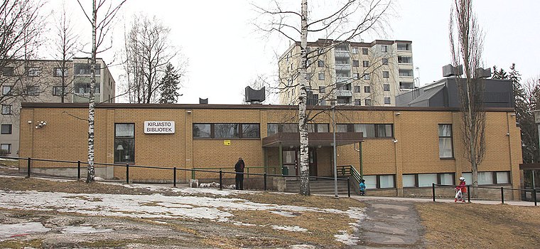
Photo: Paju, CC BY-SA 3.0.
Library of Hakunila is situated 480 metres southwest of Ratsumiehenpuisto I.
K-Supermarket
Supermarket
K-Supermarket is a supermarket chain in Finland, owned by Kesko. There are over 250 stores in Finland. The K-Supermarket chain was founded year 1994 and the first store was opened in Nastola the same year. The stores are located in big and small cities. K-Supermarket is situated 320 metres southwest of Ratsumiehenpuisto I.

Places in the Area
Nearby places include Hakunila and Kaskela (Vantaa).
Hakunila
Suburb
 Hakunila, is a district and major region of the municipality of Vantaa, Finland, located within the eastern part of the city. The district has a population of 11,238 and a population density of 3,746 inhabitants per square kilometre.

Sotunki
Suburb
 Sotunki is a district of the city of Vantaa, Finland. The district has an area of 13.7 square kilometers and a population of about 641, making it one of the least densely populated and most rural districts in the city.
Ratsumiehenpuisto I
- Type: Playground
- Category: recreation area
- Location: Vantaa, Helsinki sub-region, Uusimaa, Southern Finland, Finland, Nordic countries, Europe
- View on OpenStreetMap
Latitude
60.28066° or 60° 16′ 50″ northLongitude
25.10874° or 25° 6′ 31″ eastOpen location code
9GG774J5+7FOpenStreetMap ID
way 39447870OpenStreetMap feature
leisure=playground
This page is based on OpenStreetMap, Wikidata, and Wikimedia Commons.
We’d love your help improving our open data sources. Thank you for contributing.
Satellite Map
Discover Ratsumiehenpuisto I from above in high-definition satellite imagery.
Notable Places Nearby
Highlights include Vaunukallio and Hakunilan kotikirkko.
Nearby Places
Explore places such as Vaunukalliontie and Vaunukalliontie.
Uusimaa: Must-Visit Destinations
Delve into Helsinki, Espoo, Porvoo, and Lohja.
Curious Playgrounds to Discover
Uncover intriguing playgrounds from every corner of the globe.
About Mapcarta. Data © OpenStreetMap contributors and available under the Open Database License". Text is available under the CC BY-SA 4.0 license, except for photos, directions, and the map. Photo: Wikimedia, CC0.