Schaltstation Gotha-Ost
Schaltstation Gotha-Ost is an electrical substation in Gotha, Thuringia. Schaltstation Gotha-Ost is situated nearby to the health club FitnessKing Gotha, as well as near the pitch Klaus-Törpe-Sportpark.| Tap on a place to explore it |
Places of Interest Nearby
Highlights include Gotha Ost station and Schloss Friedrichsthal.
Gotha Ost station
Railway station

Photo: Jwaller, CC BY-SA 3.0.
Gotha Ost station is a railway station in the municipality of Gotha, located in the Gotha district in Thuringia, Germany. Gotha Ost station is situated 510 metres northeast of Schaltstation Gotha-Ost.
Schloss Friedrichsthal
Castle

Photo: Wikimedia, CC BY-SA 2.0 de.
Schloss Friedrichsthal is an 18th-century palace located in Gotha, Thuringia, Germany. It is located east of Friedenstein Palace. Schloss Friedrichsthal is situated 1¼ km southwest of Schaltstation Gotha-Ost.
Altes Rathaus
Town hall
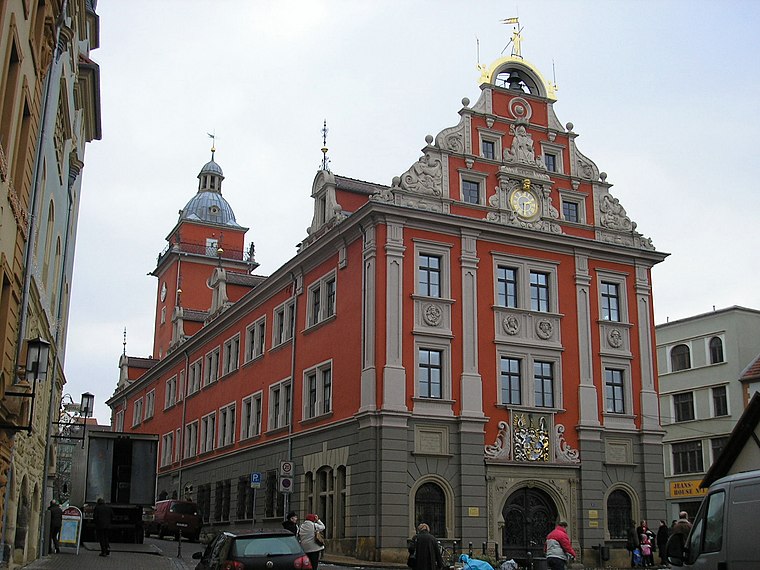
Photo: Michael Sander, CC BY-SA 3.0.
Altes Rathaus is a town hall, which is situated 1½ km southwest of Schaltstation Gotha-Ost.
Places in the Area
Nearby places include Siebleben and Kindleben.

Kindleben
Hamlet

Photo: CTHOE, CC BY-SA 3.0.
Kindleben is a hamlet, which is situated 3 km northeast of Schaltstation Gotha-Ost.
Remstädt
Village
 Remstädt is a village and Ortschaft of the municipality Nessetal in the district of Gotha, in Thuringia, Germany. Before 1 January 2019, when it was merged into the new municipality Nessetal, it was an independent municipality. Remstädt is situated 3 km northwest of Schaltstation Gotha-Ost.
Schaltstation Gotha-Ost
- Type: Electrical substation
- Categories: building and industry
- Location: Gotha, Gotha, Thuringia, Germany, Central Europe, Europe
- View on OpenStreetMap
Latitude
50.95787° or 50° 57′ 28″ northLongitude
10.71785° or 10° 43′ 4″ eastOpen location code
9F2GXP59+44OpenStreetMap ID
way 397455418OpenStreetMap feature
building=electricity
This page is based on OpenStreetMap, Wikidata, and Wikimedia Commons.
We’d love your help improving our open data sources. Thank you for contributing.
Satellite Map
Discover Schaltstation Gotha-Ost from above in high-definition satellite imagery.
Notable Places Nearby
Highlights include FitnessKing Gotha and Klaus-Törpe-Sportpark.
Nearby Places
Explore places such as Leinefelder Straße and ZF Friedrichshafen.
Curious Electrical Substations to Discover
Uncover intriguing electrical substations from every corner of the globe.
About Mapcarta. Data © OpenStreetMap contributors and available under the Open Database License". Text is available under the CC BY-SA 4.0 license, except for photos, directions, and the map. Photo: SchiDD, CC BY-SA 4.0.