Horlauben
Horlauben is a parking area in Davos, Graubünden. Horlauben is situated nearby to the hotel Hilton Garden Inn Davos, as well as near 101 Bowling.| Tap on a place to explore it |
Places of Interest Nearby
Highlights include Davos Congress Centre and Kirchner Museum Davos.
Davos Congress Centre
Convention center

Photo: Kulmalukko, CC BY-SA 3.0.
The Davos Congress Centre is the major convention centre in Davos, Switzerland. It opened in 1969 and has undergone major transformations and extensions in 1979, 1989 and 2010. It has hosted the meetings of the World Economic Forum since 1971. Davos Congress Centre is situated 120 metres southwest of Horlauben.
Kirchner Museum Davos
Museum

Photo: Parpan05, CC BY-SA 3.0.
The Kirchner Museum Davos is an art museum dedicated to the life and work of the German Expressionist artist Ernst Ludwig Kirchner, located in Davos, Switzerland. Kirchner lived in Davos from 1918 to 1938, and was inspired to create many of his works there. Kirchner Museum Davos is situated 470 metres west of Horlauben.
Eisstadion Davos
Sports venue
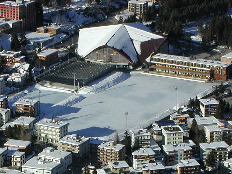
Photo: Flyout, CC BY-SA 3.0.
zondacrypto Arena is an indoor arena in Davos, Switzerland. It is primarily used for ice hockey and is the home arena of HC Davos. It holds 7,080 people, of which 3,280 are seated. Eisstadion Davos is situated 560 metres southwest of Horlauben.
Places in the Area
Nearby places include Davos Platz and Davos Frauenkirch.
Davos Platz
Suburb

Photo: MadGeographer, CC BY-SA 3.0.
Davos is an Alpine resort town and municipality in the Prättigau/Davos Region in the canton of the Grisons, Switzerland. It has a permanent population of 10,832.
Davos Frauenkirch
Hamlet
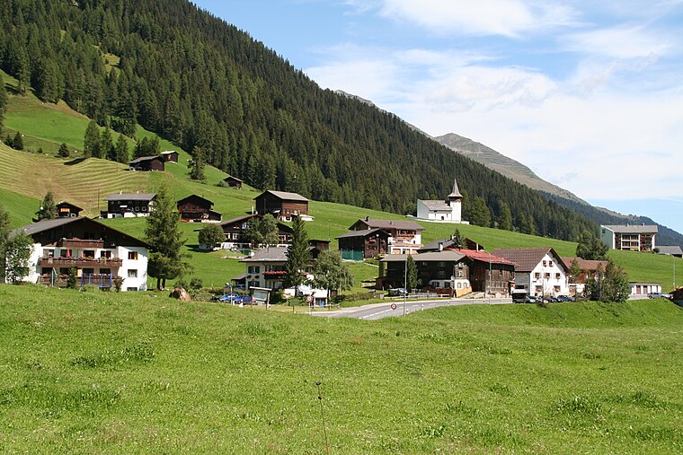
Photo: Parpan05, CC BY-SA 3.0.
Davos Frauenkirch is a hamlet, which is situated 4½ km southwest of Horlauben.
Medergen
Hamlet

Photo: Andres Passwirth, CC BY-SA 3.0.
Medergen is a hamlet, which is situated 7 km west of Horlauben.
Horlauben
- Type: Parking area
- Parking: surface
- Category: transportation
- Location: Davos, Region Prättigau / Davos, Graubünden, Switzerland, Central Europe, Europe
- View on OpenStreetMap
Latitude
46.80118° or 46° 48′ 4″ northLongitude
9.83267° or 9° 49′ 58″ eastOpen location code
8FRFRR2M+F3OpenStreetMap ID
way 39751076OpenStreetMap feature
amenity=parkingOpenStreetMap attribute
parking=surface
This page is based on OpenStreetMap, Wikidata, and Wikimedia Commons.
We’d love your help improving our open data sources. Thank you for contributing.
Satellite Map
Discover Horlauben from above in high-definition satellite imagery.
Notable Places Nearby
Highlights include Hilton Garden Inn Davos and Hotel Casanna.
Nearby Places
Explore places such as Horlauben and Davos Platz, Horlauben.
Graubünden: Must-Visit Destinations
Delve into Chur, St. Moritz, Arosa, and Klosters.
Curious Parking Areas to Discover
Uncover intriguing parking areas from every corner of the globe.
About Mapcarta. Data © OpenStreetMap contributors and available under the Open Database License". Text is available under the CC BY-SA 4.0 license, except for photos, directions, and the map. Photo: Flyout, CC BY-SA 3.0.