Tennis-Alm
Tennis-Alm is a building in Großkarolinenfeld, Rosenheim, Bavaria which is located on Karolinenplatz. Tennis-Alm is situated nearby to the sports venue TuS Großkarolinenfeld, as well as near the square Volksfestplatz.| Tap on a place to explore it |
Places of Interest Nearby
Highlights include Karolinenkirche (Großkarolinenfeld) and Großkarolinenfeld station.
Karolinenkirche (Großkarolinenfeld)
Church
 Karolinenkirche (Großkarolinenfeld) is a church, which is situated 270 metres east of Tennis-Alm.
Großkarolinenfeld station
Railway station

Photo: Renardo la vulpo, CC0.
Großkarolinenfeld station is a railway station in the municipality of Großkarolinenfeld, located in the Rosenheim district of Bavaria, Germany. It has two tracks, which are located next to two side platforms, which are connected by an underpass. Großkarolinenfeld station is situated 680 metres east of Tennis-Alm.
Heilig Kreuz
Church

Photo: Rufus46, CC BY-SA 3.0.
Heilig Kreuz is a church, which is situated 3 km west of Tennis-Alm.
Places in the Area
Nearby places include Hilperting and Kolbermoor.
Hilperting
Hamlet

Photo: Cyfal, CC BY-SA 4.0.
Hilperting is a hamlet, which is situated 4 km northwest of Tennis-Alm.
Kolbermoor
Town

Photo: Rufus46, CC BY-SA 3.0.
Kolbermoor is a town in the district of Rosenheim, in Bavaria, Germany. It is situated 5 km west of Rosenheim on the river Mangfall. In 1859 Kolbermoor railway stop was built for the new Bavarian Maximilian's Railway. Kolbermoor is situated 4 km south of Tennis-Alm.
Rosenheim
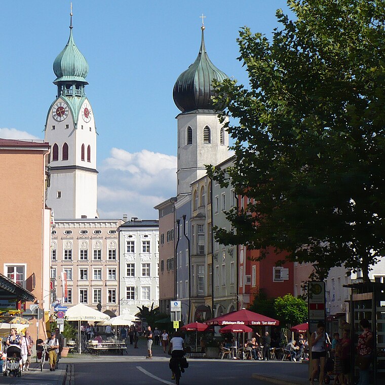
Photo: G.Piezinger, CC BY-SA 3.0.
Rosenheim is in the German state of Bavaria. It is south-east of Munich and has a population of 60,000.
Tennis-Alm
- Type: Building
- Address: Karolinenplatz 20, Großkarolinenfeld, 83109
- Location: Großkarolinenfeld, Rosenheim, Upper Bavaria, Bavaria, Germany, Central Europe, Europe
- View on OpenStreetMap
Latitude
47.89057° or 47° 53′ 26″ northLongitude
12.07613° or 12° 4′ 34″ eastInception
1990Operator
TuS GroßkarolinenfeldOpen location code
8FVJV3RG+6FOpenStreetMap ID
way 397748346OpenStreetMap feature
building=yes
This page is based on OpenStreetMap, Wikidata, and Wikimedia Commons.
We’d love your help improving our open data sources. Thank you for contributing.
Satellite Map
Discover Tennis-Alm from above in high-definition satellite imagery.
Places with the Same Name
Discover other places named “Tennis-Alm”.
Notable Places Nearby
Highlights include TuS Großkarolinenfeld and Volksfestplatz.
Nearby Places
Explore places such as Harlekin and Großkarolinenfeld Max-Josef-Straße.
Upper Bavaria: Must-Visit Destinations
Delve into Munich, Ingolstadt, Dachau, and Rosenheim.
Curious Buildings to Discover
Uncover intriguing buildings from every corner of the globe.
About Mapcarta. Data © OpenStreetMap contributors and available under the Open Database License". Text is available under the CC BY-SA 4.0 license, except for photos, directions, and the map. Photo: Aconcagua, CC BY-SA 3.0.