Zuhaitz landaketa
Zuhaitz landaketa is a forest in Leioa, Biscay, Basque Country. Zuhaitz landaketa is situated nearby to the locality Lukitxuenabaso, as well as near Iluntzarrekoerreka.| Tap on a place to explore it |
Places of Interest
Highlights include Martiartu Tower and Leioa Public Library.


Vizcaya Bridge

Photo: Ebaki, CC BY-SA 4.0.
The Vizcaya Bridge is a transporter bridge that links the towns of Portugalete and Las Arenas in the Biscay province of Spain, crossing the mouth of the Nervion River.
Places in the Area
Nearby places include Getxo and Algorta.
Getxo
Town

Photo: Eferro, Public domain.
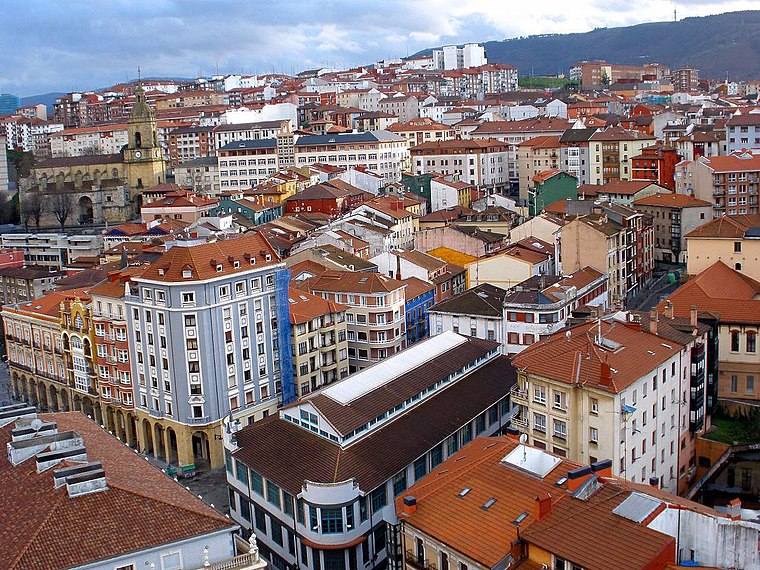
Getxo is a town located in the province of Biscay, in the autonomous community of the Basque Country, in Spain. It is part of Greater Bilbao, and has 75,430 inhabitants.
Algorta
Suburb

Photo: Wikimedia, CC BY-SA 3.0.
Algorta is a locality within the municipality of Getxo, in the province of Biscay, Basque Country, Spain. In 1996, the population of Algorta was 35,600.
Portugalete
Town
 Portugalete is a town lying to the west of Bilbao in the province of Biscay in the Autonomous Community of the Basque Country, northern Spain. The town has 45,294 inhabitants as of 2021 and is part of Bilbao's metropolitan area.
Zuhaitz landaketa
- Type: Forest
- Location: Leioa, Biscay, Basque Country, Northern Spain, Spain, Iberia, Europe
- View on OpenStreetMap
Latitude
43.3338° or 43° 20′ 2″ northLongitude
-2.9685° or 2° 58′ 7″ westOpen location code
8CMV82MJ+GJOpenStreetMap ID
way 398789835OpenStreetMap feature
landuse=forest
This page is based on OpenStreetMap, Wikidata, and Wikimedia Commons.
We’d love your help improving our open data sources. Thank you for contributing.
Satellite Map
Discover Zuhaitz landaketa from above in high-definition satellite imagery.
In Other Languages
From Basque to Spanish—“Zuhaitz landaketa” goes by many names.
- Basque: “Zuhaitz landaketa”
- Spanish: “Plantación de Árboles - Campus científico”
Localities in the Area
Explore places such as Lukitxuenabaso and Iluntzarrekoerreka.
Notable Places Nearby
Highlights include Areto Nagusia and Liburutegi Nagusia.
Basque Country: Must-Visit Destinations
Delve into Bilbao, San Sebastián, Vitoria-Gasteiz, and Guernica.
Curious Forests to Discover
Uncover intriguing forests from every corner of the globe.
About Mapcarta. Data © OpenStreetMap contributors and available under the Open Database License". Text is available under the CC BY-SA 4.0 license, except for photos, directions, and the map. Photo: Ander Abadia Zallo, CC BY 4.0.