Nachrichtentechnik Bielefeld
Nachrichtentechnik Bielefeld is a building in Bielefeld, Detmold, North Rhine-Westphalia which is located on Bechterdisser Straße. Nachrichtentechnik Bielefeld is situated nearby to the reservoir Regenwasserspeicher, as well as near Lärmschutzwall.| Tap on a place to explore it |
- Email: info@ntb.de
- Type: Building
- Address: Bechterdisser Straße 41, Bielefeld, 33719
- Roof shape: flat
Places of Interest Nearby
Highlights include Feuchtgebiet bei Meyer zu Stieghorst and MuMa - Murnau & Massolle Forum.
Feuchtgebiet bei Meyer zu Stieghorst
Nature reserve
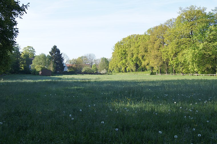
Photo: Dombrese, CC BY-SA 4.0.
Feuchtgebiet bei Meyer zu Stieghorst is a nature reserve.
MuMa - Murnau & Massolle Forum
Museum

Photo: Dr. Peter Schneider, CC BY-SA 4.0.
MuMa - Murnau & Massolle Forum is a museum, which is situated 2½ km south of Nachrichtentechnik Bielefeld.
St. Hedwig
Church

Photo: Eckard38, CC BY-SA 3.0.
St. Hedwig is a church, which is situated 2 km northwest of Nachrichtentechnik Bielefeld.
Places in the Area
Nearby places include Bechterdissen and Ubbedissen.

Ubbedissen
Quarter

Photo: Chris06, CC BY-SA 4.0.
Ubbedissen is a quarter, which is situated 3½ km south of Nachrichtentechnik Bielefeld.
Lämershagen-Gräfinghagen
Quarter

Photo: Grugerio, CC BY-SA 3.0.
Lämershagen-Gräfinghagen is a quarter, which is situated 4 km south of Nachrichtentechnik Bielefeld.
Nachrichtentechnik Bielefeld
Latitude
52.01368° or 52° 0′ 49″ northLongitude
8.62271° or 8° 37′ 22″ eastLevels
1Open location code
9F4C2J7F+F3OpenStreetMap ID
way 39928052OpenStreetMap feature
building=yesOpenStreetMap attribute
roof-shape=flat
This page is based on OpenStreetMap, Wikidata, and Wikimedia Commons.
We’d love your help improving our open data sources. Thank you for contributing.
Satellite Map
Discover Nachrichtentechnik Bielefeld from above in high-definition satellite imagery.
Notable Places Nearby
Highlights include Regenwasserspeicher and Lärmschutzwall.
Nearby Places
Explore places such as Windhorn Rowenta-Tefal-Saeco Kundendienst and Buderus - Niederlassung Bielefeld.
Teutoburg Forest: Must-Visit Destinations
Delve into Paderborn, Detmold, Gütersloh, and Minden.
Curious Buildings to Discover
Uncover intriguing buildings from every corner of the globe.
About Mapcarta. Data © OpenStreetMap contributors and available under the Open Database License". Text is available under the CC BY-SA 4.0 license, except for photos, directions, and the map. Photo: Wikimedia, CC0.