Urbanización Vila Lucas
Urbanización Vila Lucas is a residential area in A Coruña, Galicia. Urbanización Vila Lucas is situated nearby to the church Chapel of Santa María de Oza, as well as near the university Campus de Oza - UDC.| Tap on a place to explore it |
Places of Interest Nearby
Highlights include Chapel of Santa María de Oza and Complejo Hospitalario Universitario A Coruña.
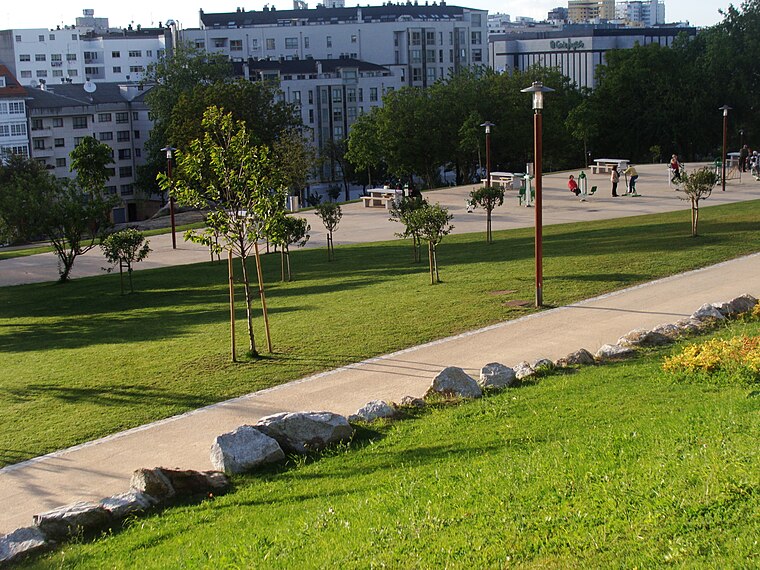
Chapel of Santa María de Oza
Church

Photo: Jorges65, CC BY-SA 3.0.
Chapel of Santa María de Oza is a church, which is situated 140 metres northeast of Urbanización Vila Lucas.
Complejo Hospitalario Universitario A Coruña
Hospital

Photo: Vanbasten 23, CC BY-SA 3.0.
Complejo Hospitalario Universitario A Coruña is situated 340 metres south of Urbanización Vila Lucas.

Places in the Area
Nearby places include Oza, A Coruña and Os Castros.


Urbanización Vila Lucas
- Type: Residential area
- Address: 2, Lugar As Xubias de Arriba, A Coruña, 15006
- Location: A Coruña, Galicia, Green Spain, Spain, Iberia, Europe
- View on OpenStreetMap
Latitude
43.34731° or 43° 20′ 50″ northLongitude
-8.38874° or 8° 23′ 20″ westOpen location code
8CMH8JW6+WGOpenStreetMap ID
way 399544185OpenStreetMap feature
landuse=residential
This page is based on OpenStreetMap, Wikidata, and Wikimedia Commons.
We’d love your help improving our open data sources. Thank you for contributing.
Satellite Map
Discover Urbanización Vila Lucas from above in high-definition satellite imagery.
Notable Places Nearby
Highlights include Campus de Oza - UDC and University Dining Oza - UDC.
Nearby Places
Explore places such as Urbanización Lazareto and Urbanización Costa Mar.
Galicia: Must-Visit Destinations
Delve into Santiago de Compostela, Lugo, Pontevedra, and A Coruña.
Curious Residential Areas to Discover
Uncover intriguing residential areas from every corner of the globe.
About Mapcarta. Data © OpenStreetMap contributors and available under the Open Database License". Text is available under the CC BY-SA 4.0 license, except for photos, directions, and the map. Photo: Mussklprozz, CC BY-SA 4.0.