Metalurgica Christ
Metalurgica Christ is an industrial building in Departamento de Libertador General San Martín, Misiones. Metalurgica Christ is situated nearby to the park Espacio verde, as well as near the pitch Campo de Fútbol Club Social, Cultural, Deportivo y de Pesca Capy Hobby Esperanza.| Tap on a place to explore it |
Places of Interest Nearby
Highlights include Hospital de Capioví ‘Hermana Luitpolda S.E.S.’ and Salto Capioví.
Hospital de Capioví ‘Hermana Luitpolda S.E.S.’
Hospital
 Hospital de Capioví ‘Hermana Luitpolda S.E.S.’ is situated 690 metres northwest of Metalurgica Christ.
Salto Capioví
Waterfall

Photo: Pertile, CC BY-SA 2.5.
Salto Capioví is a waterfall, which is situated 1 km north of Metalurgica Christ.
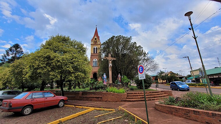
Iglesia Suiza
Church

Photo: Wikimedia, CC BY-SA 4.0.
Iglesia Suiza is a church, which is situated 3½ km south of Metalurgica Christ.
Places in the Area
Nearby places include Capioví and Ruiz de Montoya.
Capioví
Village
 Capioví is a village and municipality in Misiones Province in north-eastern Argentina. Land was first acquired in the area by the Carlos Culmey Company, in 1919, and the following year, Enrique Graef and his family became the future town's first settlers.
Ruiz de Montoya
Village
 Ruiz de Montoya is a village and municipality in Misiones Province in north-eastern Argentina. The municipality contains part of the Valle del Arroyo Cuña-Pirú Reserve, created in 2000. Ruiz de Montoya is situated 4 km south of Metalurgica Christ.
Metalurgica Christ
- Type: Industrial building
- Categories: building and industry
- Location: Departamento de Libertador General San Martín, Misiones, Mesopotamia, Argentina, South America
- View on OpenStreetMap
Latitude
-26.93451° or 26° 56′ 4″ southLongitude
-55.06108° or 55° 3′ 40″ westOpen location code
58563W8Q+5HOpenStreetMap ID
way 403557590OpenStreetMap feature
building=industrial
This page is based on OpenStreetMap, Wikidata, and Wikimedia Commons.
We’d love your help improving our open data sources. Thank you for contributing.
Satellite Map
Discover Metalurgica Christ from above in high-definition satellite imagery.
Notable Places Nearby
Highlights include Espacio verde and Campo de Fútbol Club Social, Cultural, Deportivo y de Pesca Capy Hobby Esperanza.
Nearby Places
Explore places such as Gomería and Salón de Fiestas.
Curious Industrial Buildings to Discover
Uncover intriguing industrial buildings from every corner of the globe.
About Mapcarta. Data © OpenStreetMap contributors and available under the Open Database License". Text is available under the CC BY-SA 4.0 license, except for photos, directions, and the map. Photo: Wikimedia, CC0.