Seguridad Vial
Seguridad Vial is a police station in Rosario Department, Santa Fe. Seguridad Vial is situated nearby to the park Plazoleta Alberto J. Paz, as well as near Parque Eva Perón.| Tap on a place to explore it |
Places of Interest Nearby
Highlights include Hospital Escuela Eva Perón and Rosario-Victoria Bridge.
Hospital Escuela Eva Perón
Hospital
Granadero Baigorria is a city in the south of the province of Santa Fe, Argentina, located directly north of Rosario, on the western shore of the Paraná River, and forming part of the Greater Rosario metropolitan area. Hospital Escuela Eva Perón is situated 1½ km north of Seguridad Vial.
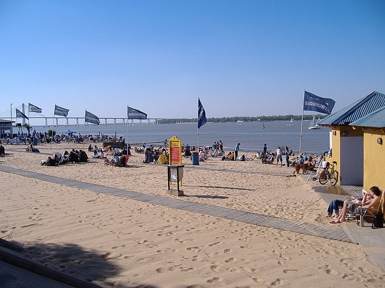
Rosario-Victoria Bridge
Bridge

Photo: Turkmenistan, CC0.
Rosario-Victoria Bridge is the informal name of the physical connection between the Argentine cities of Rosario and Victoria. This roadlink is composed of several bridges, viaducts and earth-filled sections. Rosario-Victoria Bridge is situated 2 km east of Seguridad Vial.
Places in the Area
Nearby places include Granadero Baigorria and Capitán Bermúdez.
Granadero Baigorria
Town

Photo: Egm ar, CC BY-SA 4.0.
Granadero Baigorria is a city in the south of the province of Santa Fe, Argentina, located directly north of Rosario, on the western shore of the Paraná River, and forming part of the Greater Rosario metropolitan area.
Capitán Bermúdez
Town
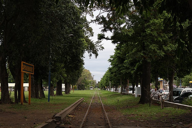
Photo: Sofia cimolai, CC BY-SA 4.0.
Capitán Bermúdez is a city in the province of Santa Fe, Argentina, located within the metropolitan area of Greater Rosario, on the western shore of the Paraná River. Capitán Bermúdez is situated 6 km north of Seguridad Vial.
Barrio Echesortu
Suburb
Echesortu is a barrio in Rosario, Argentina. It is unofficially known by that name even though, from the administrative point of view, its name is Remedios Escalada de San Martín. Barrio Echesortu is situated 8 km south of Seguridad Vial.
Seguridad Vial
- Type: Police station
- Category: building
- Location: Rosario Department, Santa Fe, Pampas, Argentina, South America
- View on OpenStreetMap
Latitude
-32.87049° or 32° 52′ 14″ southLongitude
-60.69971° or 60° 41′ 59″ westOpen location code
47VX48H2+R4OpenStreetMap ID
way 404127988OpenStreetMap feature
amenity=policeOpenStreetMap feature
building=yes
This page is based on OpenStreetMap, Wikidata, and Wikimedia Commons.
We’d love your help improving our open data sources. Thank you for contributing.
Satellite Map
Discover Seguridad Vial from above in high-definition satellite imagery.
Places with the Same Name
Discover other places named “Seguridad Vial”.
Notable Places Nearby
Highlights include Plazoleta Alberto J. Paz and Parque Eva Perón.
Nearby Places
Explore places such as Parada Ciudadela and ONAS.
Curious Police Stations to Discover
Uncover intriguing police stations from every corner of the globe.
About Mapcarta. Data © OpenStreetMap contributors and available under the Open Database License". Text is available under the CC BY-SA 4.0 license, except for photos, directions, and the map. Photo: Wikimedia, CC0.