Planta de Tratamiento de Agua Potable
Planta de Tratamiento de Agua Potable is in Rocafuerte, Manabí.| Tap on a place to explore it |
Places in the Area
Nearby places include Crucita Parish.
Crucita Parish
Town
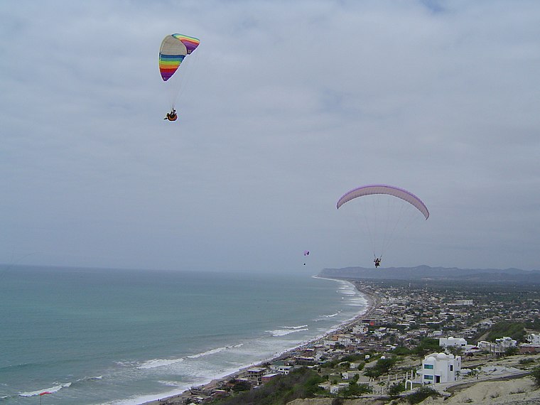
Photo: Wikimedia, CC BY-SA 3.0.
Crucita Parish is a town, which is situated 8 km northwest of Planta de Tratamiento de Agua Potable.
Planta de Tratamiento de Agua Potable
- Type: Industry
- Location: Rocafuerte, Rocafuerte Canton, Manabí, Ecuador, South America
- View on OpenStreetMap
Latitude
-0.91853° or 0° 55′ 7″ southLongitude
-80.4845° or 80° 29′ 4″ westOpen location code
66FX3GJ8+H5OpenStreetMap ID
way 412113310OpenStreetMap feature
landuse=industrial
This page is based on OpenStreetMap, Wikidata, and Wikimedia Commons.
We’d love your help improving our open data sources. Thank you for contributing.
Satellite Map
Discover Planta de Tratamiento de Agua Potable from above in high-definition satellite imagery.
Places with the Same Name
Discover other places named “Planta de Tratamiento de Agua Potable”.
Notable Places Nearby
Highlights include Iglesia Católica de José Antonio Campo and Las Jaguas Balneario..
Nearby Places
Explore places such as S/E CEIBAL (P) and Eloy Octavio Ugalde Santana.
Ecuador: Must-Visit Destinations
Delve into Quito, Guayaquil, Chimborazo, and Cuenca.
Curious Places to Discover
Uncover intriguing places from every corner of the globe.
About Mapcarta. Data © OpenStreetMap contributors and available under the Open Database License". Text is available under the CC BY-SA 4.0 license, except for photos, directions, and the map. Photo: Wikimedia, CC0.