Iglesia Evangélica Lirio de los Valles
Iglesia Evangélica Lirio de los Valles is a church in Charapoto, Sucre Canton, Manabí. Iglesia Evangélica Lirio de los Valles is situated nearby to the pitch Cancha de Voleibol, as well as near Campo de fútbol Mahanaim.| Tap on a place to explore it |
Places in the Area
Nearby places include Crucita Parish.
Crucita Parish
Town
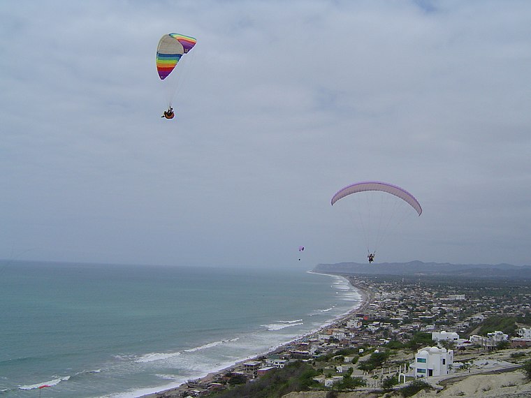
Photo: Wikimedia, CC BY-SA 3.0.
Crucita Parish is a town, which is situated 9 km southwest of Iglesia Evangélica Lirio de los Valles.
Iglesia Evangélica Lirio de los Valles
- Type: Church
- Denomination: Protestant
- Categories: building, place of worship, and religion
- Location: Charapoto, Sucre Canton, Manabí, Ecuador, South America
- View on OpenStreetMap
Latitude
-0.79367° or 0° 47′ 37″ southLongitude
-80.50567° or 80° 30′ 20″ westOpen location code
66FX6F4V+GPOpenStreetMap ID
way 413013433OpenStreetMap feature
amenity=place_of_worshipOpenStreetMap feature
building=yesOpenStreetMap attribute
denomination=protestant
This page is based on OpenStreetMap, Wikidata, and Wikimedia Commons.
We’d love your help improving our open data sources. Thank you for contributing.
Satellite Map
Discover Iglesia Evangélica Lirio de los Valles from above in high-definition satellite imagery.
Places with the Same Name
Discover other places named “Iglesia Evangélica Lirio de los Valles”.
Notable Places Nearby
Highlights include Cancha de Voleibol and Campo de fútbol Mahanaim.
Nearby Places
Explore places such as Centro Recreacional Mahanaim and Colegio Pacífico Azul.
Ecuador: Must-Visit Destinations
Delve into Quito, Guayaquil, Chimborazo, and Cuenca.
Curious Churches to Discover
Uncover intriguing churches from every corner of the globe.
About Mapcarta. Data © OpenStreetMap contributors and available under the Open Database License". Text is available under the CC BY-SA 4.0 license, except for photos, directions, and the map. Photo: Wikimedia, CC0.