Friedhofsgärtnerei Klemm
Friedhofsgärtnerei Klemm is a garden center in Groitzsch, Leipzig, Saxony which is located on Friedhofsweg. Friedhofsgärtnerei Klemm is situated nearby to the stone Droßdorfer Wappenstein, as well as near the historic site Kgl.-sächs. Postmeilenstein Groitzsch Gedenkstein.| Tap on a place to explore it |
Places of Interest Nearby
Highlights include Kgl.-sächs. Postmeilenstein Groitzsch Gedenkstein and Kgl.-sächs. Postmeilenstein Groitzsch Halbmeilenstein.
Kgl.-sächs. Postmeilenstein Groitzsch Gedenkstein
Historic site

Photo: Radler59, CC BY-SA 3.0.
Kgl.-sächs. Postmeilenstein Groitzsch Gedenkstein is a historic site, which is situated 110 metres west of Friedhofsgärtnerei Klemm.
Kgl.-sächs. Postmeilenstein Groitzsch Halbmeilenstein
Historic site
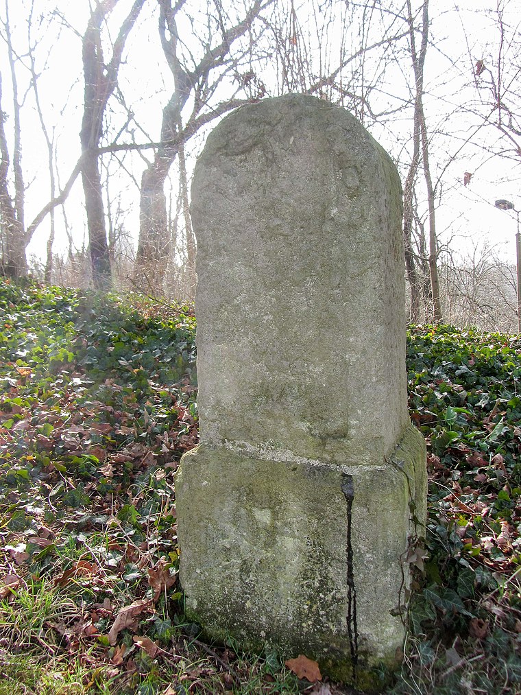
Photo: Radler59, CC BY-SA 3.0.
Kgl.-sächs. Postmeilenstein Groitzsch Halbmeilenstein is a historic site, which is situated 120 metres west of Friedhofsgärtnerei Klemm.
Kgl.-sächs. Postmeilenstein Groitzsch Grenzübergangsstein
Historic site
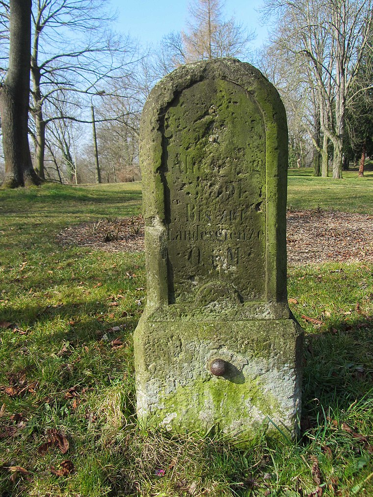
Photo: Radler59, CC BY-SA 3.0.
Kgl.-sächs. Postmeilenstein Groitzsch Grenzübergangsstein is a historic site, which is situated 140 metres west of Friedhofsgärtnerei Klemm.
Places in the Area
Nearby places include Pegau and Weideroda.
Pegau
Town

Photo: Wikimedia, CC BY-SA 4.0.
Pegau is a town in the Leipzig district in Saxony, Germany, situated in a fertile plain, on the White Elster, 18 m. S.W. from Leipzig by the railway to Zeitz.


Friedhofsgärtnerei Klemm
- Type: Garden center
- Address: Friedhofsweg 8A, Groitzsch, 04539
- Categories: greenhouse and shop
- Location: Groitzsch, Leipzig, Saxony, Germany, Central Europe, Europe
- View on OpenStreetMap
Latitude
51.15908° or 51° 9′ 33″ northLongitude
12.27692° or 12° 16′ 37″ eastOperator
Thomas KlemmOpen location code
9F3J575G+JQOpenStreetMap ID
way 419363548OpenStreetMap feature
landuse=greenhouse_horticultureOpenStreetMap feature
shop=garden_centre
This page is based on OpenStreetMap, Wikidata, and Wikimedia Commons.
We’d love your help improving our open data sources. Thank you for contributing.
Satellite Map
Discover Friedhofsgärtnerei Klemm from above in high-definition satellite imagery.
Notable Places Nearby
Highlights include Friedhof and Droßdorfer Wappenstein.
Nearby Places
Explore places such as Läuferstein xx-xx KP/KS and Pfarramt.
Saxony: Must-Visit Destinations
Delve into Dresden, Leipzig, Chemnitz, and Meißen.
Curious Garden Centers to Discover
Uncover intriguing garden centers from every corner of the globe.
About Mapcarta. Data © OpenStreetMap contributors and available under the Open Database License". Text is available under the CC BY-SA 4.0 license, except for photos, directions, and the map. Photo: Taxiarchos228, FAL.