Wanderparkplatz Strohweiler Brunnen
Wanderparkplatz Strohweiler Brunnen is a parking area in Römerstein, Reutlingen, Baden-Württemberg. Wanderparkplatz Strohweiler Brunnen is situated nearby to the nature reserve Oberes Lenninger Tal mit Seitentälern, as well as near the village Schopfloch.| Tap on a place to explore it |
Places of Interest Nearby
Highlights include Ruine Sperberseck and Mondmilchhöhle.
Ruine Sperberseck
Castle

Photo: Peter Kreuzmann, CC BY-SA 4.0.
Ruine Sperberseck is a castle, which is situated 2 km northeast of Wanderparkplatz Strohweiler Brunnen.
Mondmilchhöhle
Cave
 Mondmilchhöhle is a cave, which is situated 2 km northeast of Wanderparkplatz Strohweiler Brunnen.
Oberes Lenninger Tal mit Seitentälern
Nature reserve

Photo: R.kaelcke, CC BY-SA 4.0.
Oberes Lenninger Tal mit Seitentälern is a nature reserve, which is situated 2½ km north of Wanderparkplatz Strohweiler Brunnen.
Places in the Area
Nearby places include Schopfloch and Konradfels.
Schopfloch
Village

Photo: Wikimedia, CC BY-SA 3.0.
Schopfloch is a village, which is situated 4½ km northeast of Wanderparkplatz Strohweiler Brunnen.
Konradfels
Locality
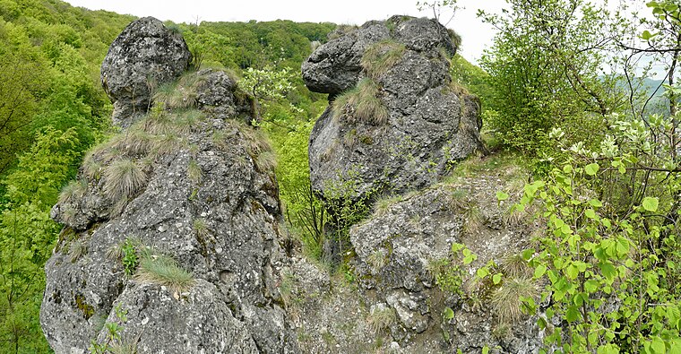
Photo: Ramessos, CC BY-SA 3.0.
Konradfels is a locality, which is situated 4½ km northwest of Wanderparkplatz Strohweiler Brunnen.
Gruorn
Locality

Photo: Pjt56, CC BY-SA 4.0.
Gruorn is a locality, which is situated 6 km south of Wanderparkplatz Strohweiler Brunnen.
Wanderparkplatz Strohweiler Brunnen
- Type: Parking area
- Parking: surface
- Category: transportation
- Location: Römerstein, Reutlingen, Tübingen Region, Baden-Württemberg, Germany, Central Europe, Europe
- View on OpenStreetMap
Latitude
48.50602° or 48° 30′ 22″ northLongitude
9.50313° or 9° 30′ 11″ eastOpen location code
8FWFGG43+C7OpenStreetMap ID
way 41946405OpenStreetMap feature
amenity=parkingOpenStreetMap attribute
parking=surface
This page is based on OpenStreetMap, Wikidata, and Wikimedia Commons.
We’d love your help improving our open data sources. Thank you for contributing.
Satellite Map
Discover Wanderparkplatz Strohweiler Brunnen from above in high-definition satellite imagery.
Notable Places Nearby
Highlights include Älbe and Turn-und Festhalle.
Nearby Places
Explore places such as Kernzone - Betreten verboten and Kernzone Lange Steige.
Baden-Württemberg: Must-Visit Destinations
Delve into Stuttgart, Heidelberg, Karlsruhe, and Mannheim.
Curious Parking Areas to Discover
Uncover intriguing parking areas from every corner of the globe.
About Mapcarta. Data © OpenStreetMap contributors and available under the Open Database License". Text is available under the CC BY-SA 4.0 license, except for photos, directions, and the map. Photo: Traveler100, CC BY-SA 3.0.