H
H is a pier in Multnomah, Oregon. H is situated nearby to the pier B, as well as near C.| Tap on a place to explore it |
Places of Interest Nearby
Highlights include Mill Ends Park and South Waterfront Park.
Mill Ends Park
Park
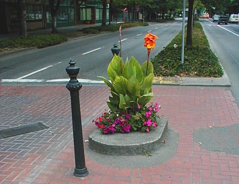
Photo: Duk, CC BY-SA 3.0.
Mill Ends Park is the smallest urban park in the United States. It consists of 1 tree, located in the median strip of SW Naito Parkway next to Tom McCall Waterfront Park along the Willamette River near SW Taylor Street in the downtown core of Portland, Oregon, United States.
South Waterfront Park
Park
South Waterfront Park is a 4.52-acre park in Portland, Oregon, United States. The park was acquired in 1999.
Hawthorne Bridge
Bridge

Photo: Steve Morgan, CC BY-SA 3.0.
The Hawthorne Bridge is a truss bridge with a vertical lift that spans the Willamette River in Portland, Oregon, joining Hawthorne Boulevard and Madison Street. Hawthorne Bridge is situated 1,100 feet northeast of H.
Places in the Area
Nearby places include Southwest Portland and Downtown Portland.
Southwest Portland
 Southwest Portland comprises the part of the city south of Burnside and west of the river, including the downtown core and Washington Park.
Downtown Portland
Suburb
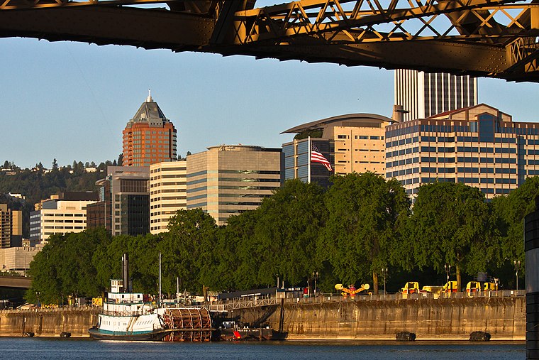
Photo: Wikimedia, CC BY-SA 2.0.
Downtown Portland is the central business district of Portland, Oregon, United States. It is on the west bank of the Willamette River in the northeastern corner of the southwest section of the city and where most of the city's high-rise buildings are found.
Portland

Photo: dirigibleduck, CC BY-SA 2.0.
Few American cities can match the youthful spirit of Portland, "The City of Roses". The largest city in the state of Oregon, Portland's residents are proud of their city, which draws people for its scenic beauty, great outdoors environment, excellent…
H
- Type: Pier
- Category: transportation
- Location: Multnomah, Oregon, Pacific Northwest, United States, North America
- View on OpenStreetMap
Latitude
45.5105° or 45° 30′ 38″ northLongitude
-122.67312° or 122° 40′ 23″ westOpen location code
84QVG86G+5QOpenStreetMap ID
way 421577054OpenStreetMap feature
man_made=pier
This page is based on OpenStreetMap, Wikidata, and Wikimedia Commons.
We’d love your help improving our open data sources. Thank you for contributing.
Satellite Map
Discover H from above in high-definition satellite imagery.
Notable Places Nearby
Highlights include B and C.
Nearby Places
Explore places such as Little River Café and Upstream.
Oregon: Must-Visit Destinations
Delve into Portland, Salem, Eugene, and Astoria.
Curious Piers to Discover
Uncover intriguing piers from every corner of the globe.
About Mapcarta. Data © OpenStreetMap contributors and available under the Open Database License". Text is available under the CC BY-SA 4.0 license, except for photos, directions, and the map. Photo: Wikimedia, CC BY-SA 3.0.