APSA GmbH
APSA GmbH is a factory in Hörselberg-Hainich, Wartburgkreis, Thuringia. APSA GmbH is situated nearby to the playground Ziege, as well as near Schaf.| Tap on a place to explore it |
Places of Interest Nearby
Highlights include Schloss Neuscharfenberg and Eisenach-Kindel Airport.
Schloss Neuscharfenberg
Castle

Photo: Metilsteiner, CC BY-SA 3.0.
Schloss Neuscharfenberg is a castle, which is situated 2½ km south of APSA GmbH.
Eisenach-Kindel Airport
Aerodrome

Photo: Carsten Steger, CC BY-SA 4.0.
Eisenach-Kindel Airport is an aerodrome, which is situated 3 km southeast of APSA GmbH.
St. Peter and Paul (Großenlupnitz)
Church
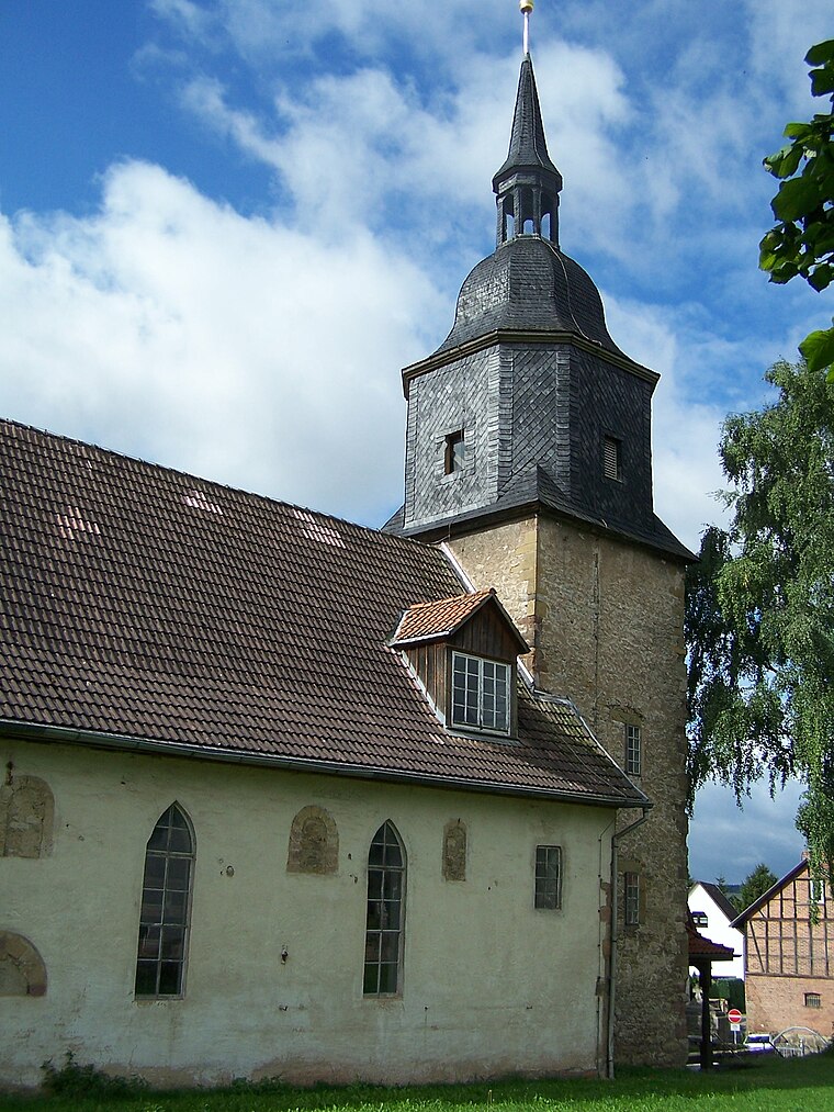
Photo: Metilsteiner, CC BY-SA 3.0.
St. Peter and Paul (Großenlupnitz) is a church, which is situated 2½ km southwest of APSA GmbH.
Places in the Area
Nearby places include Wenigenlupnitz and Großenlupnitz.

Großenlupnitz
Village

Photo: Metilsteiner, CC BY-SA 3.0.
Großenlupnitz is a village, which is situated 2½ km southwest of APSA GmbH.
Beuernfeld
Village

Photo: Metilsteiner, CC BY-SA 3.0.
Beuernfeld is a village, which is situated 3 km west of APSA GmbH.
APSA GmbH
- Type: Factory
- Categories: building and industry
- Location: Hörselberg-Hainich, Wartburgkreis, Thuringia, Germany, Central Europe, Europe
- View on OpenStreetMap
Latitude
51.00391° or 51° 0′ 14″ northLongitude
10.44137° or 10° 26′ 29″ eastOpen location code
9F3G2C3R+HGOpenStreetMap ID
way 422071551OpenStreetMap feature
building=yesOpenStreetMap feature
man_made=works
This page is based on OpenStreetMap, Wikidata, and Wikimedia Commons.
We’d love your help improving our open data sources. Thank you for contributing.
Satellite Map
Discover APSA GmbH from above in high-definition satellite imagery.
Notable Places Nearby
Highlights include Ziege and Schaf.
Nearby Places
Explore places such as Firmenwegweiser and Autotest Eisenach GmbH.
Curious Factories to Discover
Uncover intriguing factories from every corner of the globe.
About Mapcarta. Data © OpenStreetMap contributors and available under the Open Database License". Text is available under the CC BY-SA 4.0 license, except for photos, directions, and the map. Photo: Taxiarchos228, FAL.