나들이공원
나들이공원 is a park in Imae-dong, Bundang, Gyeonggi. 나들이공원 is situated nearby to the church 판교소망교회, as well as near Bopyung Elementary School.| Tap on a place to explore it |
Places of Interest Nearby
Highlights include Seongnam and Pangyo.
Seongnam
Metro station

Photo: Striker9498, CC0.
Seongnam Station is a railway station on GTX-A and Gyeonggang Line of the Seoul Metropolitan Subway. It is located at Baekhyeon-dong, Bundang, Seongnam, Gyeonggi, South Korea. Seongnam is situated 150 metres east of 나들이공원.
Pangyo
Metro station
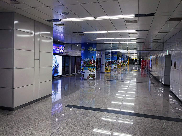
Photo: 안우석, CC BY-SA 3.0.
Pangyo Station is a station on the Shinbundang Line, serving the planned district of Pangyo in the city of Seongnam. The station is close to Pangyo Techno Valley, one of the country's largest clusters of software, gaming, entertainment and biotechnology businesses, home to major tech companies like Kakao. Pangyo is situated 580 metres west of 나들이공원.
Bundang Jesaeng Hospital
Hospital
Bundang Jesaeng Hospital, also known as Daejin Medical Center, is a general hospital located in Seohyeon-dong, Bundang District, Seongnam, South Korea. Bundang Jesaeng Hospital is situated 1 km southeast of 나들이공원.
Places in the Area
Nearby places include Baekhyeon-dong and Imae-dong.
Baekhyeon-dong
Quarter
Baekhyeon-dong is a dong of Bundang district in the city of Seongnam, Gyeonggi Province, South Korea. As of January 1, 2024, the population of Baekhyeon-dong is 26,873, spanning 10,431 households.
Imae-dong
Quarter
Imae-dong is a dong in Bundang District, Seongnam, Gyeonggi Province. It is officially divided into Imae-1-dong and Imae-2-dong. It shares its name with a station on the Bundang Line.
Pangyo Techno Valley
Quarter

Photo: Imtotallykorean, CC BY-SA 4.0.
Pangyo Techno Valley is an industrial complex in the city of Pangyo, Seongnam, Gyeonggi Province, South Korea. It is also known as the Silicon Valley of Korea.
나들이공원
- Type: Park
- Category: recreation area
- Location: Imae-dong, Bundang, Seongnam-si, Gyeonggi, South Korea, East Asia, Asia
- View on OpenStreetMap
Latitude
37.39487° or 37° 23′ 42″ northLongitude
127.11773° or 127° 7′ 4″ eastOpen location code
8Q9994V9+W3OpenStreetMap ID
way 422220103OpenStreetMap feature
leisure=park
This page is based on OpenStreetMap, Wikidata, and Wikimedia Commons.
We’d love your help improving our open data sources. Thank you for contributing.
Satellite Map
Discover 나들이공원 from above in high-definition satellite imagery.
In Other Languages
From Japanese to Korean—“나들이공원” goes by many names.
- Japanese: “ナドゥリ公園”
- Korean: “나들이공원”
Places with the Same Name
Discover other places named “나들이공원”.
Notable Places Nearby
Highlights include 판교소망교회 and Bopyung Elementary School.
Nearby Places
Explore places such as 성남역.보평중고등학교 and Seongnam.
Gyeonggi: Must-Visit Destinations
Delve into Seoul, Incheon, Suwon, and Ansan.
Curious Parks to Discover
Uncover intriguing parks from every corner of the globe.
About Mapcarta. Data © OpenStreetMap contributors and available under the Open Database License". Text is available under the CC BY-SA 4.0 license, except for photos, directions, and the map. Photo: Jfranklee, Public domain.