Enserch Corporation
Enserch Corporation is in Gregg, Texas. Enserch Corporation is situated nearby to Wilkerson Cemetery, as well as near the pitch Softball Field No. 7.| Tap on a place to explore it |
Places of Interest Nearby
Highlights include Pine Tree High School.
Pine Tree High School
School
Pine Tree High School is a suburban public high school located in the city of Longview, Texas, in Gregg County, United States and classified as a 4A school by the University Interscholastic League. Pine Tree High School is situated 2½ miles north of Enserch Corporation.
Places in the Area
Nearby places include Greggton and Longview.
Greggton
Suburb
Greggton was an unincorporated community in Gregg County, located in the U.S. state of Texas. The community was originally founded in 1873 under the name "Willow Springs" as a stop on the Texas and Pacific Railway. Greggton is situated 2 miles northwest of Enserch Corporation.
Longview
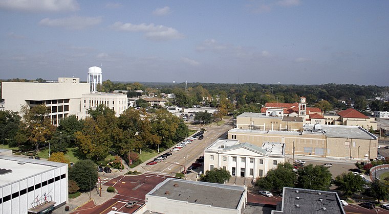
Photo: Eaglegrafix, CC BY 3.0.
Longview is a city in the Piney Woods region of Texas. At one time a major headquarters of the vast East Texas Oil Field, petroleum remains a large part of the city's economy.
Fredonia
Suburb
Fredonia is a neighborhood of Kilgore, Texas, located in Gregg County, in the East Texas region. It was originally an unincorporated community. The area is still known locally and appears on maps. It was annexed by the city of Kilgore on December 13, 2011. Fredonia is situated 5 miles south of Enserch Corporation.
Enserch Corporation
- Type: Industry
- Location: Gregg, Texas, United States, North America
- View on OpenStreetMap
Latitude
32.48127° or 32° 28′ 53″ northLongitude
-94.77819° or 94° 46′ 42″ westOpen location code
8647F6JC+GPOpenStreetMap ID
way 423073551OpenStreetMap feature
landuse=industrial
This page is based on OpenStreetMap, Wikidata, and Wikimedia Commons.
We’d love your help improving our open data sources. Thank you for contributing.
Satellite Map
Discover Enserch Corporation from above in high-definition satellite imagery.
Notable Places Nearby
Highlights include Wilkerson Cemetery and Softball Field No. 7.
Nearby Places
Explore places such as All Seasons Window & Door and VFW Post 4002.
Texas: Must-Visit Destinations
Delve into Houston, Austin, Dallas, and San Antonio.
Curious Places to Discover
Uncover intriguing places from every corner of the globe.
About Mapcarta. Data © OpenStreetMap contributors and available under the Open Database License". Text is available under the CC BY-SA 4.0 license, except for photos, directions, and the map. Photo: Wikimedia, CC0.