Gewerbegebiet Güterbahnhof
Gewerbegebiet Güterbahnhof is in Kulmbach, Upper Franconia, Bavaria. Gewerbegebiet Güterbahnhof is situated nearby to Tanzschule Barbic, as well as near the police station Polizeiinspektion Kulmbach.| Tap on a place to explore it |
Places of Interest Nearby
Highlights include St. Nikolai and Kulmbach.
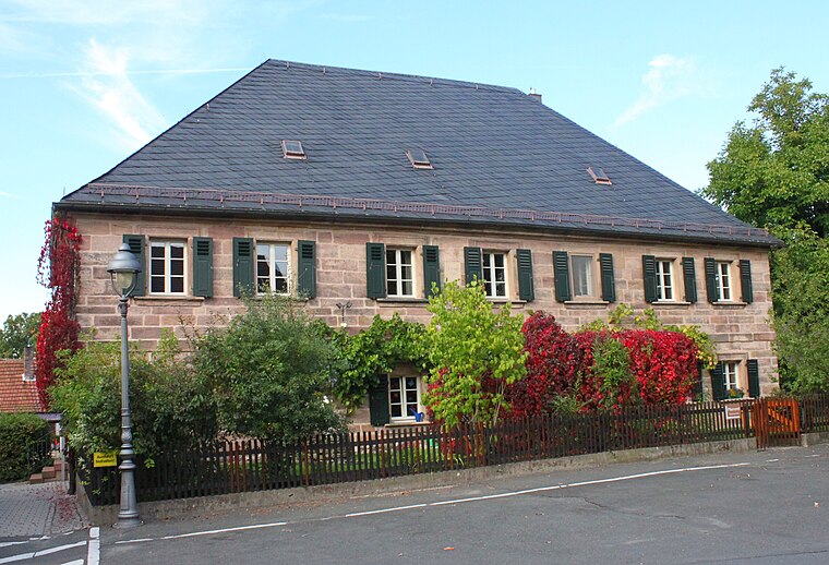
St. Nikolai
Church

Photo: Benreis, CC BY-SA 3.0.
St. Nikolai is a church, which is situated 400 metres southeast of Gewerbegebiet Güterbahnhof.
Kulmbach
Railway station

Photo: Wikimedia, Public domain.
Kulmbach station is a railway station in the municipality of Kulmbach, located in the district of Kulmbach in Middle Franconia, Germany. Kulmbach is situated 490 metres northeast of Gewerbegebiet Güterbahnhof.
Station building at Kulmbach station
Railway station
Photo: Wikimedia, Public domain.
Station building at Kulmbach station is a railway station, which is situated 500 metres east of Gewerbegebiet Güterbahnhof.
Places in the Area
Nearby places include Petzmannsberg and Ziegelhütten (Kulmbach).


Gewerbegebiet Güterbahnhof
- Type: Industry
- Location: Kulmbach, Kulmbach, Upper Franconia, Franconia, Bavaria, Germany, Central Europe, Europe
- View on OpenStreetMap
Latitude
50.10814° or 50° 6′ 29″ northLongitude
11.44548° or 11° 26′ 44″ eastOpen location code
9F2H4C5W+75OpenStreetMap ID
way 427197765OpenStreetMap feature
landuse=industrial
This page is based on OpenStreetMap, Wikidata, and Wikimedia Commons.
We’d love your help improving our open data sources. Thank you for contributing.
Satellite Map
Discover Gewerbegebiet Güterbahnhof from above in high-definition satellite imagery.
Notable Places Nearby
Highlights include Tanzschule Barbic and Polizeiinspektion Kulmbach.
Nearby Places
Explore places such as Kulmbacher Brauerei AG and Reichelbräu.
Upper Franconia: Must-Visit Destinations
Delve into Bamberg, Bayreuth, Coburg, and Hof.
Curious Places to Discover
Uncover intriguing places from every corner of the globe.
About Mapcarta. Data © OpenStreetMap contributors and available under the Open Database License". Text is available under the CC BY-SA 4.0 license, except for photos, directions, and the map. Photo: Wikimedia, CC0.