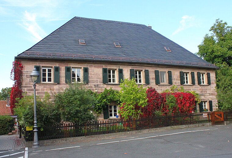
Kulmbach Kf
Kulmbach Kf is a building in Kulmbach, Upper Franconia, Bavaria. Kulmbach Kf is situated nearby to the house Villa, as well as near the post office DeutschePost.| Tap on a place to explore it |
Places of Interest Nearby
Highlights include Kulmbach and Station building at Kulmbach station.
Kulmbach
Railway station

Photo: Wikimedia, Public domain.
Kulmbach station is a railway station in the municipality of Kulmbach, located in the district of Kulmbach in Middle Franconia, Germany. Kulmbach is situated 150 metres west of Kulmbach Kf.
Station building at Kulmbach station
Railway station
Photo: Wikimedia, Public domain.
Station building at Kulmbach station is a railway station, which is situated 140 metres west of Kulmbach Kf.
Brunnen
Fountain

Photo: Tilman2007, CC BY-SA 3.0.
Brunnen is a fountain, which is situated 260 metres south of Kulmbach Kf.
Places in the Area
Nearby places include Ziegelhütten (Kulmbach) and Petzmannsberg.


Kulmbach Kf
- Type: Building
- Location: Kulmbach, Kulmbach, Upper Franconia, Franconia, Bavaria, Germany, Central Europe, Europe
- View on OpenStreetMap
Latitude
50.11009° or 50° 6′ 36″ northLongitude
11.45388° or 11° 27′ 14″ eastInception
November 29th, 1977Open location code
9F2H4F63+2HOpenStreetMap ID
way 427645334OpenStreetMap feature
building=yesOpenStreetMap feature
railway=signal_box
This page is based on OpenStreetMap, Wikidata, and Wikimedia Commons.
We’d love your help improving our open data sources. Thank you for contributing.
Satellite Map
Discover Kulmbach Kf from above in high-definition satellite imagery.
Notable Places Nearby
Highlights include Villa and DeutschePost.
Nearby Places
Explore places such as Bayerisches Rotes Kreuz Kreisverband Kulmbach and Bergophor Futtermittelfabrik.
Upper Franconia: Must-Visit Destinations
Delve into Bamberg, Bayreuth, Coburg, and Hof.
Curious Buildings to Discover
Uncover intriguing buildings from every corner of the globe.
About Mapcarta. Data © OpenStreetMap contributors and available under the Open Database License". Text is available under the CC BY-SA 4.0 license, except for photos, directions, and the map. Photo: Wikimedia, CC0.