Freiwillige Feuerwehr Steinberg
Freiwillige Feuerwehr Steinberg is a fire station in Steinberg-Dörfl, Oberpullendorf District, Burgenland which is located on Dr.-Ernst-Josef-Görlich-Gasse. Freiwillige Feuerwehr Steinberg is situated nearby to the town hall Gemeindeamt Steinberg-Dörfl, as well as near the pitch Fußball.| Tap on a place to explore it |
Places of Interest Nearby
Highlights include Pfarrkirche Steinberg an der Rabnitz and Cemetery chapel Steinberg-Dörfl.
Pfarrkirche Steinberg an der Rabnitz
Church

Photo: Buchhändler, CC BY-SA 3.0.
Pfarrkirche Steinberg an der Rabnitz is a church, which is situated 220 metres southeast of Freiwillige Feuerwehr Steinberg.
Cemetery chapel Steinberg-Dörfl
Church

Photo: Buchhändler, CC BY-SA 3.0.
Cemetery chapel Steinberg-Dörfl is a church, which is situated 250 metres southwest of Freiwillige Feuerwehr Steinberg.
Filialkirche Dörfl
Church

Photo: Buchhändler, CC BY-SA 3.0.
Filialkirche Dörfl is a church, which is situated 2 km northwest of Freiwillige Feuerwehr Steinberg.
Places in the Area
Nearby places include Liebing and Hammerteich.
Liebing
Village
Photo: Wikimedia, Public domain.
Liebing is a village in the district of Oberpullendorf in Burgenland in Austria. It is part of the municipality of Mannersdorf an der Rabnitz. Liebing is situated 7 km south of Freiwillige Feuerwehr Steinberg.
Hammerteich
Village
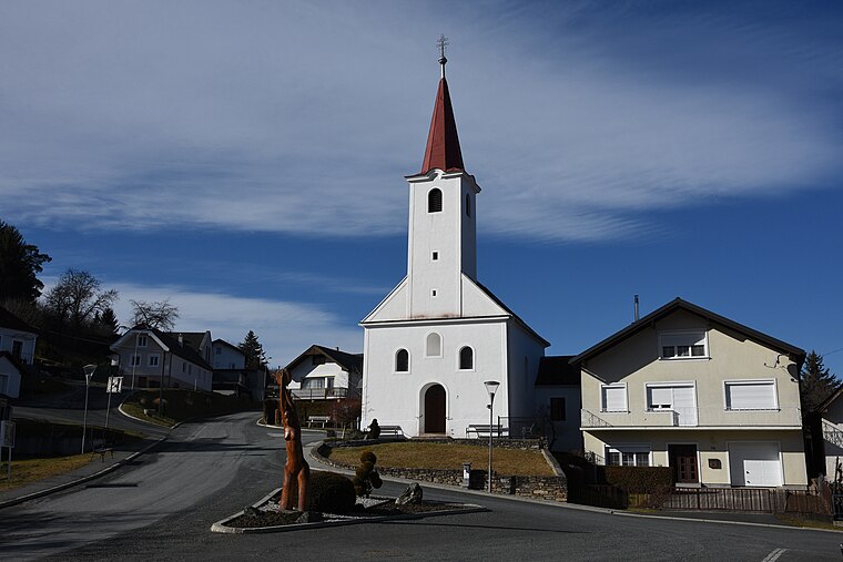
Photo: Iswoar, CC BY-SA 4.0.
Hammerteich is a village, which is situated 8 km southwest of Freiwillige Feuerwehr Steinberg.
Freiwillige Feuerwehr Steinberg
- Type: Fire station
- Address: Dr.-Ernst-Josef-Görlich-Gasse 1, Steinberg-Dörfl, 7453
- Category: building
- Location: Steinberg-Dörfl, Oberpullendorf District, Burgenland, Austria, Central Europe, Europe
- View on OpenStreetMap
Latitude
47.47588° or 47° 28′ 33″ northLongitude
16.48609° or 16° 29′ 10″ eastOpen location code
8FVRFFGP+9COpenStreetMap ID
way 428513448OpenStreetMap feature
amenity=fire_stationOpenStreetMap feature
building=yesWikidata ID
Q97158103
This page is based on OpenStreetMap, Wikidata, and Wikimedia Commons.
We’d love your help improving our open data sources. Thank you for contributing.
Satellite Map
Discover Freiwillige Feuerwehr Steinberg from above in high-definition satellite imagery.
In Other Languages
“Freiwillige Feuerwehr Steinberg” goes by many names.
- German: “Feuerwehrhaus Steinberg”
Notable Places Nearby
Highlights include Gemeindeamt Steinberg-Dörfl and Fußball.
Nearby Places
Explore places such as Steinberg bei Rabnitz Neugasse and Dr. Rupert Karall.
Burgenland: Must-Visit Destinations
Delve into Eisenstadt, Neusiedl am See, Rust, and Güssing.
Curious Fire Stations to Discover
Uncover intriguing fire stations from every corner of the globe.
About Mapcarta. Data © OpenStreetMap contributors and available under the Open Database License". Text is available under the CC BY-SA 4.0 license, except for photos, directions, and the map. Photo: Wikimedia, CC BY-SA 4.0.