Rettungsplatz Pulverdinger Tunnel
Rettungsplatz Pulverdinger Tunnel is in Baden-Württemberg, Germany. Rettungsplatz Pulverdinger Tunnel is situated nearby to the ruins Neckar-Enz-Stellung 424, as well as near the forest Pulverdinger Holz.| Tap on a place to explore it |
Places of Interest Nearby
Highlights include Enz Viaduct and Georgskirche.
Enz Viaduct
Bridge

Photo: Sese Ingolstadt, CC BY-SA 3.0.
Enz Viaduct is a bridge, which is situated 1¼ km northwest of Rettungsplatz Pulverdinger Tunnel.
Georgskirche
Church
 Georgskirche is a church, which is situated 1½ km northeast of Rettungsplatz Pulverdinger Tunnel.
Wasserturm Pulverdingen
Water tower
 Wasserturm Pulverdingen is a water tower, which is situated 1½ km south of Rettungsplatz Pulverdinger Tunnel.
Places in the Area
Nearby places include Pulverdingen and Oberriexingen.

Oberriexingen
Village
 Oberriexingen is a town in the district of Ludwigsburg, Baden-Württemberg, Germany. It is situated on the river Enz, 20 km northwest of Stuttgart, and 13 km west of Ludwigsburg.
Enzweihingen
Village
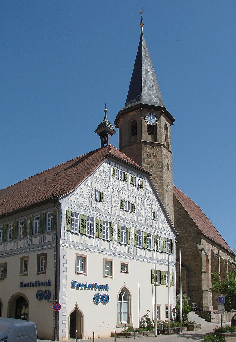
Photo: Mussklprozz, CC BY-SA 3.0.
Enzweihingen is a village, part of the town of Vaihingen an der Enz, Germany. It has a population of 3,951 people. Enzweihingen lies about three miles southeast of the centre of Vaihingen, between Strohgäu and Heckengäu, at the confluence of the Kreuzbach, Strudelbach and Enz.
Rettungsplatz Pulverdinger Tunnel
- Type: Railway
- Category: transportation
- Location: Baden-Württemberg, Germany, Central Europe, Europe
- View on OpenStreetMap
Latitude
48.91467° or 48° 54′ 53″ northLongitude
9.01391° or 9° 0′ 50″ eastOpen location code
8FWFW277+VHOpenStreetMap ID
way 430178005OpenStreetMap feature
landuse=railway
This page is based on OpenStreetMap, Wikidata, and Wikimedia Commons.
We’d love your help improving our open data sources. Thank you for contributing.
Satellite Map
Discover Rettungsplatz Pulverdinger Tunnel from above in high-definition satellite imagery.
Notable Places Nearby
Highlights include Neckar-Enz-Stellung 424 and Pulverdinger Holz.
Nearby Places
Explore places such as Neckar-Enz-Stellung 425 and Neckar-Enz-Stellung 426.
Baden-Württemberg: Must-Visit Destinations
Delve into Stuttgart, Heidelberg, Karlsruhe, and Mannheim.
Curious Places to Discover
Uncover intriguing places from every corner of the globe.
About Mapcarta. Data © OpenStreetMap contributors and available under the Open Database License". Text is available under the CC BY-SA 4.0 license, except for photos, directions, and the map. Photo: Traveler100, CC BY-SA 3.0.