Wasserversorgung Oberhagrain
Wasserversorgung Oberhagrain is a waterworks in Tegernsee, Miesbach, Bavaria. Wasserversorgung Oberhagrain is situated nearby to the sports venue Das Stadion am Birkenmoos, as well as near Tennishalle.| Tap on a place to explore it |
Places of Interest Nearby
Highlights include Riederstein and Riedersteinkapelle.

Riedersteinkapelle
Church

Photo: Amrei-Marie, CC BY-SA 3.0.
Riedersteinkapelle is a church, which is situated 1½ km north of Wasserversorgung Oberhagrain.
Prince Karl chapel
Church

Photo: Renardo la vulpo, CC BY-SA 4.0.
Prince Karl chapel is a church, which is situated 1½ km northwest of Wasserversorgung Oberhagrain.
Places in the Area
Nearby places include Rottach-Egern and Bad Wiessee.
Rottach-Egern
Village

Photo: FotoweltMW, CC BY-SA 3.0.
Rottach-Egern is a municipality and town located at Lake Tegernsee in the district of Miesbach in Upper Bavaria, Germany, about 55 km south of central Munich. Late Austrian actor Walter Slezak is buried in this area.
Bad Wiessee
Village
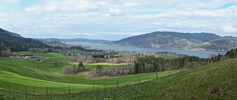
Photo: Ventus55, CC BY-SA 4.0.
Bad Wiessee is a municipality in the district of Miesbach in Upper Bavaria in Germany. Since 1922, it has been a spa town and located on the western shore of the Tegernsee Lake. Bad Wiessee is situated 5 km northwest of Wasserversorgung Oberhagrain.
Fischhausen (Schliersee)
Hamlet

Photo: Wikimedia, Public domain.
Fischhausen (Schliersee) is a hamlet, which is situated 6 km east of Wasserversorgung Oberhagrain.
Wasserversorgung Oberhagrain
- Type: Waterworks
- Categories: building and industry
- Location: Tegernsee, Miesbach, Upper Bavaria, Bavaria, Germany, Central Europe, Europe
- View on OpenStreetMap
Latitude
47.69196° or 47° 41′ 31″ northLongitude
11.78858° or 11° 47′ 19″ eastOpen location code
8FVHMQRQ+QCOpenStreetMap ID
way 435372983OpenStreetMap feature
building=yesOpenStreetMap feature
man_made=water_works
This page is based on OpenStreetMap, Wikidata, and Wikimedia Commons.
We’d love your help improving our open data sources. Thank you for contributing.
Satellite Map
Discover Wasserversorgung Oberhagrain from above in high-definition satellite imagery.
Notable Places Nearby
Highlights include Das Stadion am Birkenmoos and Tennishalle.
Nearby Places
Explore places such as Gewerbegebiet Tuften and Baumlehrpfad Beginn.
Upper Bavaria: Must-Visit Destinations
Delve into Munich, Ingolstadt, Rosenheim, and Dachau.
Curious Waterworks to Discover
Uncover intriguing waterworks from every corner of the globe.
About Mapcarta. Data © OpenStreetMap contributors and available under the Open Database License". Text is available under the CC BY-SA 4.0 license, except for photos, directions, and the map. Photo: FotoweltMW, CC BY-SA 3.0.