Allianz Hochhaus
Allianz Hochhaus is an office building in Göppingen, Stuttgart, Baden-Württemberg which is located on Bahnhofstraße. Allianz Hochhaus is situated nearby to the bus station Zentraler Omnibusbahnhof, as well as near the sports venue ZAR Göppingen Zentrum für ambulante Rehabilitation.| Tap on a place to explore it |
Places of Interest Nearby
Highlights include Göppingen station and Storchen.
Göppingen station
Railway station

Photo: Wikimedia, CC BY-SA 4.0.
Göppingen station is a station in the town of Göppingen in the German state of Baden-Württemberg. It is a transit station and is situated km 42.1 from Stuttgart on the Fils Valley Railway, which was completed in 1850 from Stuttgart to Ulm. Göppingen station is situated 110 metres south of Allianz Hochhaus.
Storchen
Museum

Photo: Wikimedia, Public domain.
Storchen is a museum, which is situated 210 metres northwest of Allianz Hochhaus.
Stolperstein dedicated to Pauline Guggenheim
Memorial

Photo: Wikimedia, CC BY-SA 4.0.
Stolperstein dedicated to Pauline Guggenheim is a memorial, which is situated 100 metres northeast of Allianz Hochhaus.
Places in the Area
Nearby places include Bartenbach and Jebenhausen.
Bartenbach
Village

Photo: Wikimedia, CC BY-SA 3.0.
Bartenbach is a village, which is situated 2½ km north of Allianz Hochhaus.
Jebenhausen
Village
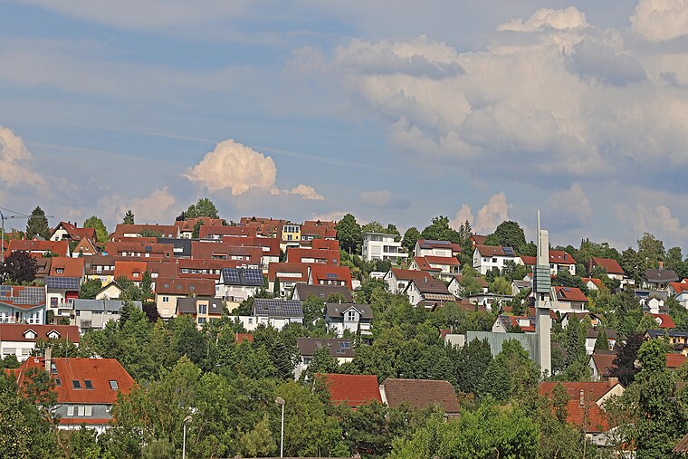
Photo: W. Bulach, CC BY-SA 4.0.
Jebenhausen is a village, which is situated 2½ km southwest of Allianz Hochhaus.
Rechberghausen
Village

Photo: Wikimedia, CC BY-SA 3.0.
Rechberghausen is a municipality in the district of Göppingen in Baden-Württemberg in southern Germany. Rechberghausen is situated 3½ km north of Allianz Hochhaus.
Allianz Hochhaus
- Type: Office building
- Address: Bahnhofstraße 7, Göppingen, 73033
- Categories: building and office
- Location: Göppingen, Stuttgart, Baden-Württemberg, Germany, Central Europe, Europe
- View on OpenStreetMap
Latitude
48.70124° or 48° 42′ 5″ northLongitude
9.65177° or 9° 39′ 6″ eastLevels
9Open location code
8FWFPM22+FPOpenStreetMap ID
way 435424332OpenStreetMap feature
building=office
This page is based on OpenStreetMap, Wikidata, and Wikimedia Commons.
We’d love your help improving our open data sources. Thank you for contributing.
Satellite Map
Discover Allianz Hochhaus from above in high-definition satellite imagery.
Places with the Same Name
Discover other places named “Allianz Hochhaus”.
Notable Places Nearby
Highlights include Zentraler Omnibusbahnhof and ZAR Göppingen Zentrum für ambulante Rehabilitation.
Nearby Places
Explore places such as Handyhafen and Kreisbau Filstal.
Baden-Württemberg: Must-Visit Destinations
Delve into Stuttgart, Heidelberg, Karlsruhe, and Mannheim.
Curious Office Buildings to Discover
Uncover intriguing office buildings from every corner of the globe.
About Mapcarta. Data © OpenStreetMap contributors and available under the Open Database License". Text is available under the CC BY-SA 4.0 license, except for photos, directions, and the map. Photo: Traveler100, CC BY-SA 3.0.