Northfields Activity Center, “The Bubble”
Northfields Activity Center, “The Bubble” is a building in Town of Rindge, Cheshire County, New Hampshire. Northfields Activity Center, “The Bubble” is situated nearby to the fire station The Firehouse, as well as near the pitch Pappas Field.| Tap on a place to explore it |
Places in the Area
Nearby places include Jaffrey and Rindge.
Jaffrey
Town

Photo: TrustTruth, Public domain.
Jaffrey is a town in Cheshire County, New Hampshire, United States. The population was 5,320 at the 2020 census. The main village in town, where 3,058 people resided at the 2020 census, is defined as the Jaffrey census-designated place and is located along the Contoocook River at the junction of U.S. Route 202 and New Hampshire routes 124 and 137. Jaffrey is situated 2½ miles northeast of Northfields Activity Center, “The Bubble”.
Rindge
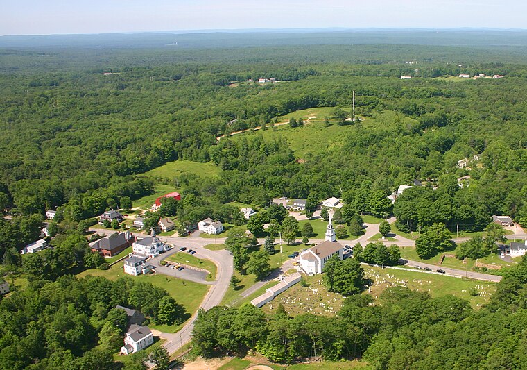
Photo: Carju451, Public domain.
Rindge is a town in Cheshire County, New Hampshire, United States. The population was 6,476 at the 2020 census, up from 6,014 at the 2010 census. Rindge is home to Franklin Pierce University, the Cathedral of the Pines and part of Annett State Forest.
Fitzwilliam
Village

Photo: Wikimedia, CC BY-SA 3.0.
Fitzwilliam is a town in Cheshire County, New Hampshire, United States. The population was 2,351 at the 2020 census. Fitzwilliam is home to Rhododendron State Park, a 16-acre grove of native rhododendrons that bloom in mid-July. Fitzwilliam is situated 4½ miles west of Northfields Activity Center, “The Bubble”.
Northfields Activity Center, “The Bubble”
- Type: Building
- Location: Town of Rindge, Cheshire County, New Hampshire, New England, United States, North America
- View on OpenStreetMap
Latitude
42.7839° or 42° 47′ 2″ northLongitude
-72.05709° or 72° 3′ 26″ westOpen location code
87J9QWMV+H5OpenStreetMap ID
way 438800343OpenStreetMap feature
building=yes
This page is based on OpenStreetMap, Wikidata, and Wikimedia Commons.
We’d love your help improving our open data sources. Thank you for contributing.
Satellite Map
Discover Northfields Activity Center, “The Bubble” from above in high-definition satellite imagery.
Notable Places Nearby
Highlights include The Firehouse and Pappas Field.
Nearby Places
Explore places such as North Woods Apartments and Mountainview Apartments.
New Hampshire: Must-Visit Destinations
Delve into Concord, Manchester, Nashua, and Portsmouth.
Curious Buildings to Discover
Uncover intriguing buildings from every corner of the globe.
About Mapcarta. Data © OpenStreetMap contributors and available under the Open Database License". Text is available under the CC BY-SA 4.0 license, except for photos, directions, and the map. Photo: Wikimedia, CC0.