Sanderumhallen
Sanderumhallen is a sports venue in Odense Municipality, Region of Southern Denmark. Sanderumhallen is situated nearby to the school Sanderumskolen, as well as near the stadium Fyens Væddeløbsbane.| Tap on a place to explore it |
Places of Interest Nearby
Highlights include Sanderum Church and Odense Friluftsbad.
Sanderum Church
Church
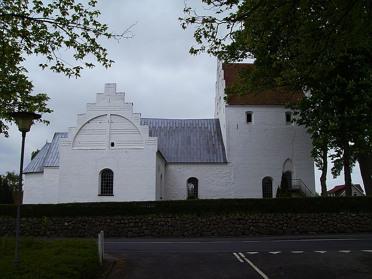
Photo: ScM, CC BY-SA 3.0.
Sanderum Church is situated 1 km west of Sanderumhallen.
Odense Friluftsbad
Water park

Photo: Kaare, CC BY-SA 3.0.
Odense Friluftsbad is a water park, which is situated 1½ km north of Sanderumhallen.
Fruens Bøge Station
Railway station

Photo: Olepet, CC BY-SA 3.0.
Fruens Bøge Station is a railway station, which is situated 2 km east of Sanderumhallen.
Places in the Area
Nearby places include Sanderum and Dalum.

Dyrup
Suburb
Dyrup is a community and suburb of Odense, Denmark, along the green Odense River valley. Before the 1950s, Dyrup had approximately 700 inhabitants, was mostly rural and part of Sanderum municipality and parish.
Sanderumhallen
- Type: Sports venue
- Categories: building, recreation area, and sports location
- Location: Odense Municipality, Region of Southern Denmark, Denmark, Nordic countries, Europe
- View on OpenStreetMap
Latitude
55.36976° or 55° 22′ 11″ northLongitude
10.34635° or 10° 20′ 47″ eastOpen location code
9F7G989W+WGOpenStreetMap ID
way 43901197OpenStreetMap feature
building=yesOpenStreetMap feature
leisure=sports_centre
This page is based on OpenStreetMap, Wikidata, and Wikimedia Commons.
We’d love your help improving our open data sources. Thank you for contributing.
Satellite Map
Discover Sanderumhallen from above in high-definition satellite imagery.
Notable Places Nearby
Highlights include Sanderumskolen and Fyens Væddeløbsbane.
Nearby Places
Explore places such as Lahn Børnehus and Stjernen Børnehus.
Denmark: Must-Visit Destinations
Delve into Copenhagen, Aarhus, Odense, and Aalborg.
Curious Sports Venues to Discover
Uncover intriguing sports venues from every corner of the globe.
About Mapcarta. Data © OpenStreetMap contributors and available under the Open Database License". Text is available under the CC BY-SA 4.0 license, except for photos, directions, and the map. Photo: Wikimedia, CC0.