DAD / SIG
DAD / SIG is a building in Saint-Martin-d’Hères, Arrondissement of Grenoble, Auvergne-Rhône-Alpes. DAD / SIG is situated nearby to the university UFR PhITEM, as well as near the sports venue Halles des Sports Ouest.| Tap on a place to explore it |
Places of Interest Nearby
Highlights include École nationale supérieure d’informatique et de mathématiques appliquées de Grenoble and Grenoble Institute of Political Studies.
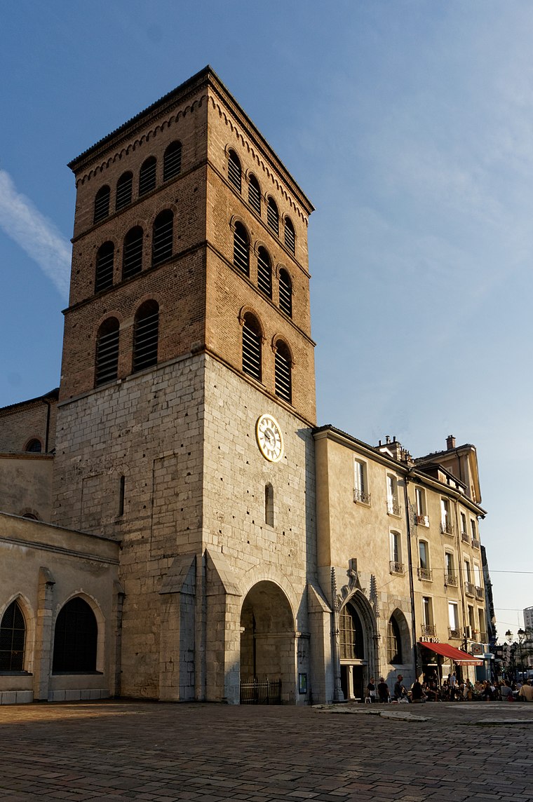
École nationale supérieure d’informatique et de mathématiques appliquées de Grenoble
University

Photo: Quentinkent1, CC BY-SA 1.0.
The École nationale supérieure d'informatique et de mathématiques appliquées, or Ensimag, is a prestigious French grande école located in Grenoble, France. École nationale supérieure d’informatique et de mathématiques appliquées de Grenoble is situated 720 metres east of DAD / SIG.
Grenoble Institute of Political Studies
College

Photo: Wikimedia, CC BY-SA 4.0.
The Grenoble Institute of Political Studies, also known as Sciences Po Grenoble, is a French "grande école" of political science and more broadly of social sciences located in the campus of the University of Grenoble in Grenoble, France. Grenoble Institute of Political Studies is situated 1 km east of DAD / SIG.
Bibliothèque universitaire Joseph-Fourier
Library
 Bibliothèque universitaire Joseph-Fourier is a library, which is situated 1 km east of DAD / SIG.
Places in the Area
Nearby places include University campus in Grenoble and Grenoble.
University campus in Grenoble
Suburb

Photo: Rémih, CC BY-SA 3.0.
University campus in Grenoble is a suburb.
Grenoble
 Grenoble is a city of around 158,000 inhabitants in 2017 in the French Alps. The climate is quite cold in winter, with days of snow almost every year. Summers are known to be hot, as mountains surrounding the town stop any wind.
DAD / SIG
- Type: Building
- Also known as: “Direction de l’Aménagement Durable / Service Interuniversitaire de Gestion”
- Location: Saint-Martin-d’Hères, Arrondissement of Grenoble, Isère, Auvergne-Rhône-Alpes, France, Europe
- View on OpenStreetMap
Latitude
45.1926° or 45° 11′ 33″ northLongitude
5.75882° or 5° 45′ 32″ eastOpen location code
8FQ75QV5+2GOpenStreetMap ID
way 44332777OpenStreetMap feature
building=yes
This page is based on OpenStreetMap, Wikidata, and Wikimedia Commons.
We’d love your help improving our open data sources. Thank you for contributing.
Satellite Map
Discover DAD / SIG from above in high-definition satellite imagery.
Notable Places Nearby
Highlights include UFR PhITEM and Halles des Sports Ouest.
Nearby Places
Explore places such as Résidence les Taillées and Université - Les Taillées.
Isère: Must-Visit Destinations
Delve into Grenoble, Vienne, Voiron, and Alpe d’Huez.
Curious Buildings to Discover
Uncover intriguing buildings from every corner of the globe.
About Mapcarta. Data © OpenStreetMap contributors and available under the Open Database License". Text is available under the CC BY-SA 4.0 license, except for photos, directions, and the map. Photo: Samat, CC BY-SA 3.0.