Sünkeler Hof
Sünkeler Hof is a residential area in Paderborn, Detmold, North Rhine-Westphalia. Sünkeler Hof is situated nearby to Tanzschule Möllmann, as well as near the playground Spielplatz im Riemeke Park.| Tap on a place to explore it |
Places of Interest Nearby
Highlights include Paderborn Hauptbahnhof and Herz-Jesu-Kirche.
Paderborn Hauptbahnhof
Railway station

Photo: Tohma, CC BY-SA 4.0.
Paderborn Hauptbahnhof is the main passenger station in the city of Paderborn in the German state of North Rhine-Westphalia. It is located on the Hamm–Warburg line, part of the Mid-Germany Connection from Cologne or Düsseldorf to Thuringia and Saxony. Paderborn Hauptbahnhof is situated 420 metres south of Sünkeler Hof.
Herz-Jesu-Kirche
Church

Photo: Zefram, CC BY 2.0 de.
Herz-Jesu-Kirche is a church, which is situated 330 metres southeast of Sünkeler Hof.
Historisches Rathaus Paderborn
Town hall
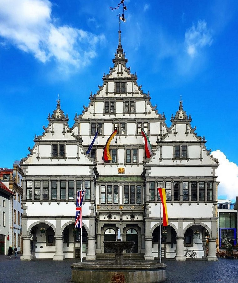
Photo: Sunnysteffen, CC BY-SA 4.0.
Historisches Rathaus Paderborn is a town hall, which is situated 1 km east of Sünkeler Hof.
Places in the Area
Nearby places include Borchen and Sennelager.
Borchen
Village

Photo: Unixbook, CC BY-SA 3.0.
Borchen is a municipality in the district of Paderborn, in North Rhine-Westphalia, Germany. Borchen is situated 6 km south of Sünkeler Hof.
Sennelager
Village
Sennelager is a village in Germany that forms part of the City of Paderborn. It is notable for its association with the military since the 19th century. Sennelager is situated 7 km north of Sünkeler Hof.
Benhausen
Village

Photo: Philipp Sx86, CC BY-SA 3.0.
Benhausen is a village, which is situated 7 km northeast of Sünkeler Hof.
Sünkeler Hof
Latitude
51.71661° or 51° 42′ 60″ northLongitude
8.74059° or 8° 44′ 26″ eastOpen location code
9F3CPP8R+J6OpenStreetMap ID
way 444539079OpenStreetMap feature
landuse=residential
This page is based on OpenStreetMap, Wikidata, and Wikimedia Commons.
We’d love your help improving our open data sources. Thank you for contributing.
Satellite Map
Discover Sünkeler Hof from above in high-definition satellite imagery.
Notable Places Nearby
Highlights include Tanzschule Möllmann and Spielplatz im Riemeke Park.
Nearby Places
Explore places such as Tagespflege Sankt Pankratius and Caritas-Sozialstation Sankt Liborius.
Teutoburg Forest: Must-Visit Destinations
Delve into Bielefeld, Detmold, Gütersloh, and Minden.
Curious Residential Areas to Discover
Uncover intriguing residential areas from every corner of the globe.
About Mapcarta. Data © OpenStreetMap contributors and available under the Open Database License". Text is available under the CC BY-SA 4.0 license, except for photos, directions, and the map. Photo: Wikimedia, CC0.