Kläranlage Fröttstädt
Kläranlage Fröttstädt is a wastewater treatment plant in Hörsel, Gotha, Thuringia. Kläranlage Fröttstädt is situated nearby to the fire station FFw Teutleben, as well as near Protestant Church Fröttstädt.| Tap on a place to explore it |
Places of Interest Nearby
Highlights include Fröttstädt station and Protestant Church Fröttstädt.
Fröttstädt station
Railway station

Photo: Metilsteiner, CC BY-SA 3.0.
Fröttstädt is a railway station situated in Fröttstädt in the German state of Thuringia. It is situated on the Bebra to Erfurt main line, with another line branching off to Friedrichroda. Fröttstädt station is situated 1 km southeast of Kläranlage Fröttstädt.
Protestant Church Fröttstädt
Church
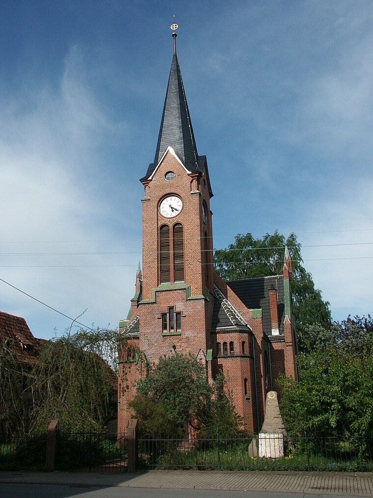 Protestant Church Fröttstädt is situated 750 metres southeast of Kläranlage Fröttstädt.
Protestant Church Teutleben
Church

Photo: CTHOE, CC BY-SA 3.0.
Protestant Church Teutleben is situated 790 metres north of Kläranlage Fröttstädt.
Places in the Area
Nearby places include Fröttstädt and Teutleben.
Fröttstädt
Village
Fröttstädt is a village and a former municipality in the district of Gotha in Thuringia, Germany. Since 1 December 2011, it is part of the municipality Hörsel. Its railway station has a unique water supply method.
Teutleben
Village

Photo: Metilsteiner, CC BY-SA 4.0.
Teutleben is a village and a former municipality in the district of Gotha in Thuringia, Germany. Since 1 December 2011, it is part of the municipality Hörsel.
Laucha
Village

Photo: CTHOE, CC BY-SA 3.0.
Laucha is a village and a former municipality in the district of Gotha in Thuringia, Germany. Since 1 December 2011, it is part of the municipality Hörsel.
Kläranlage Fröttstädt
- Type: Wastewater treatment plant
- Category: industry
- Location: Hörsel, Gotha, Thuringia, Germany, Central Europe, Europe
- View on OpenStreetMap
Latitude
50.93874° or 50° 56′ 20″ northLongitude
10.56582° or 10° 33′ 57″ eastOpen location code
9F2GWHQ8+F8OpenStreetMap ID
way 445485911OpenStreetMap feature
man_made=wastewater_plant
This page is based on OpenStreetMap, Wikidata, and Wikimedia Commons.
We’d love your help improving our open data sources. Thank you for contributing.
Satellite Map
Discover Kläranlage Fröttstädt from above in high-definition satellite imagery.
Notable Places Nearby
Highlights include FFw Teutleben and Crazy Paint Ranch.
Nearby Places
Explore places such as Fröttstädt and Anger-Eck.
Curious Wastewater Treatment Plants to Discover
Uncover intriguing wastewater treatment plants from every corner of the globe.
About Mapcarta. Data © OpenStreetMap contributors and available under the Open Database License". Text is available under the CC BY-SA 4.0 license, except for photos, directions, and the map. Photo: Taxiarchos228, FAL.