Boelcke-Kaserne
Boelcke-Kaserne is a barracks in North Rhine-Westphalia, Germany. Boelcke-Kaserne is situated nearby to the athletics track Michael Schumacher Kart-Center, as well as near the sports venue Balance Sportparc.| Tap on a place to explore it |
Places of Interest Nearby
Highlights include Sindorf station and Jüdischer Friedhof.
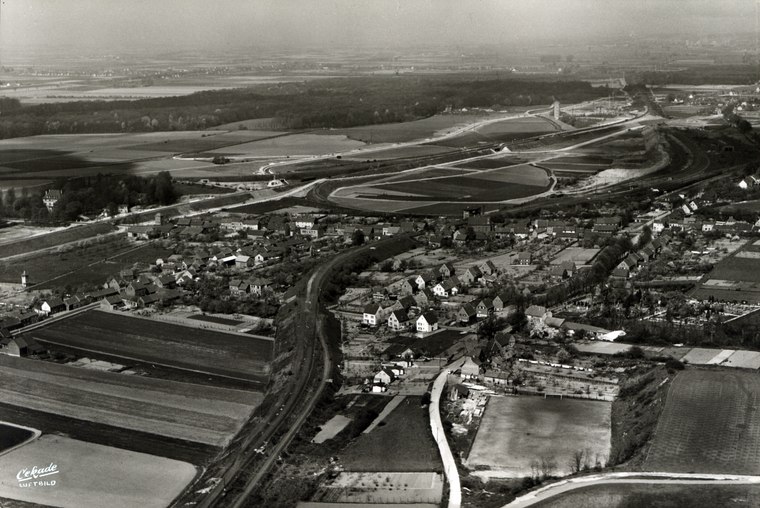
Sindorf station
Railway station

Photo: A.Savin, CC BY-SA 3.0.
Sindorf station is a train station in the town of Sindorf in the German state of North Rhine-Westphalia on the Cologne–Aachen high-speed railway. The station is in the south-east of the Kerpen district of Sindorf and has a side platform on the south side of the S-Bahn line. Sindorf station is situated 2 km north of Boelcke-Kaserne.
Jüdischer Friedhof
Cemetery
 Jüdischer Friedhof is a cemetery, which is situated 1½ km southeast of Boelcke-Kaserne.
Christuskirche
Church

Photo: A.Savin, CC BY-SA 3.0.
Christuskirche is a church, which is situated 2 km north of Boelcke-Kaserne.
Places in the Area
Nearby places include Manheim and Mödrath.

Mödrath
Village
 Mödrath is a quarter of Kerpen, Germany. It was annexed to the Kerpen Ortskern in the course of the lignite resettlement in 1956.
Boelcke-Kaserne
- Type: Barracks
- Categories: military installation, residential building, and building
- Location: North Rhine-Westphalia, Germany, Central Europe, Europe
- View on OpenStreetMap
Latitude
50.88742° or 50° 53′ 15″ northLongitude
6.67154° or 6° 40′ 18″ eastOpen location code
9F28VMPC+XJOpenStreetMap ID
way 445789615OpenStreetMap feature
landuse=militaryOpenStreetMap feature
military=barracks
This page is based on OpenStreetMap, Wikidata, and Wikimedia Commons.
We’d love your help improving our open data sources. Thank you for contributing.
Satellite Map
Discover Boelcke-Kaserne from above in high-definition satellite imagery.
Places with the Same Name
Discover other places named “Boelcke-Kaserne”.
Notable Places Nearby
Highlights include Michael Schumacher Kart-Center and Balance Sportparc.
Nearby Places
Explore places such as La Piazza and Schönmackers Umweltdienste GmbH & Co. KG.
North Rhine-Westphalia: Must-Visit Destinations
Delve into Cologne, Düsseldorf, Bonn, and Dortmund.
Curious Barracks to Discover
Uncover intriguing barracks from every corner of the globe.
About Mapcarta. Data © OpenStreetMap contributors and available under the Open Database License". Text is available under the CC BY-SA 4.0 license, except for photos, directions, and the map. Photo: Daniel Schwen, CC BY-SA 2.5.