Mehrzweckhalle 9
Mehrzweckhalle 9 is a warehouse in Schkeuditz, Nordsachsen, Saxony. Mehrzweckhalle 9 is situated nearby to Logistik-/Bürogebäude, as well as near the scenic viewpoint Spotterpunkt 9 - Bürogebäude.| Tap on a place to explore it |
Places of Interest Nearby
Highlights include Schkeuditz railway station and water tower Schkeuditz.
Schkeuditz railway station
Railway station
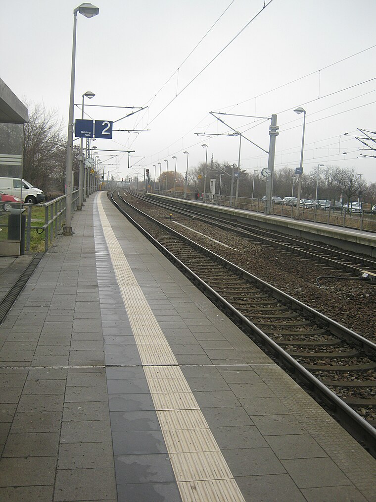
Photo: MKBler, CC BY-SA 4.0.
Schkeuditz railway station is situated 690 metres southeast of Mehrzweckhalle 9.
water tower Schkeuditz
Water tower

Photo: Wikimedia, CC BY-SA 4.0.
water tower Schkeuditz is situated 500 metres southeast of Mehrzweckhalle 9.
Leipzig/Halle Airport Railway Station
Railway station

Photo: dierk schaefer, CC BY 2.0.
Leipzig/Halle Airport is a railway station serving Leipzig/Halle Airport, located in Schkeuditz, Germany. The station was opened on 30 June 2003 and is located on the Erfurt–Leipzig/Halle high-speed railway. Leipzig/Halle Airport Railway Station is situated 2 km north of Mehrzweckhalle 9.
Places in the Area
Nearby places include Schkeuditz and Kursdorf.
Schkeuditz
Town

Photo: Tnemtsoni, CC BY-SA 3.0.
Schkeuditz is a Große Kreisstadt in the district of Nordsachsen, in Saxony, Germany. It is situated on the White Elster river, 12km northwest of Leipzig. Leipzig/Halle Airport is located in Schkeuditz.
Kursdorf
Locality
Kursdorf is a ghost village in Schkeuditz, Saxony, Germany. The site is located near the state border with Saxony-Anhalt. Situated between the two runways of Leipzig/Halle Airport, the village has been described as the "loudest village in Germany." Its population has declined since the mid-20th century, to the point that since 2017, the village has had no inhabitants.
Papitz (Schkeuditz)
Suburb

Photo: Jwaller, CC BY-SA 3.0.
Papitz (Schkeuditz) is a suburb, which is situated 2½ km southeast of Mehrzweckhalle 9.
Mehrzweckhalle 9
- Type: Warehouse
- Category: building
- Location: Schkeuditz, Nordsachsen, Saxony, Germany, Central Europe, Europe
- View on OpenStreetMap
Latitude
51.40776° or 51° 24′ 28″ northLongitude
12.21709° or 12° 13′ 2″ eastOpen location code
9F3JC658+4ROpenStreetMap ID
way 447231374OpenStreetMap feature
building=warehouse
This page is based on OpenStreetMap, Wikidata, and Wikimedia Commons.
We’d love your help improving our open data sources. Thank you for contributing.
Satellite Map
Discover Mehrzweckhalle 9 from above in high-definition satellite imagery.
Notable Places Nearby
Highlights include Logistik-/Bürogebäude and Spotterpunkt 9 - Bürogebäude.
Nearby Places
Explore places such as GRITEC and Schkeuditzer Metallveredelung.
Saxony: Must-Visit Destinations
Delve into Dresden, Leipzig, Chemnitz, and Meißen.
Curious Warehouses to Discover
Uncover intriguing warehouses from every corner of the globe.
About Mapcarta. Data © OpenStreetMap contributors and available under the Open Database License". Text is available under the CC BY-SA 4.0 license, except for photos, directions, and the map. Photo: Taxiarchos228, FAL.