ehemaliger Kindergarten Redlschlag
ehemaliger Kindergarten Redlschlag is a building in Bernstein im Burgenland, Oberwart District, Burgenland which is located on Oberer Anger. ehemaliger Kindergarten Redlschlag is situated nearby to the church Kath. Pfarrzentrum, as well as near the cemetery Friedhof Redlschlag.| Tap on a place to explore it |
Places of Interest Nearby
Highlights include Saint Oswald of Northumbria Church and Sebastianssäule Lebenbrunn.
Saint Oswald of Northumbria Church
Church

Photo: Ufoao, CC BY-SA 3.0 at.
Saint Oswald of Northumbria Church is situated 1 km northeast of ehemaliger Kindergarten Redlschlag.
Sebastianssäule Lebenbrunn
Memorial

Photo: Robert Heilinger, CC BY-SA 3.0.
Sebastianssäule Lebenbrunn is a memorial, which is situated 3 km north of ehemaliger Kindergarten Redlschlag.
Places in the Area
Nearby places include Redlschlag and Kogl im Burgenland.


Stuben
Village
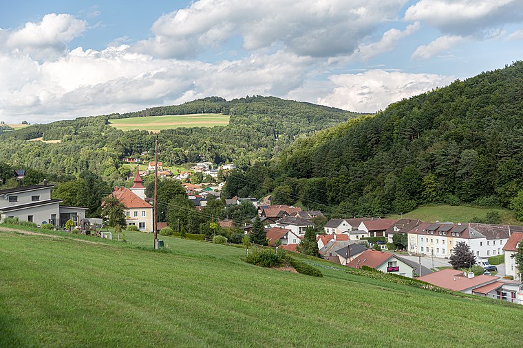
Photo: Tsui, CC BY-SA 4.0.
Stuben is a village, which is situated 3 km west of ehemaliger Kindergarten Redlschlag.
ehemaliger Kindergarten Redlschlag
- Type: Building
- Address: Oberer Anger 7a, Redlschlag, 7434
- Location: Bernstein im Burgenland, Oberwart District, Burgenland, Austria, Central Europe, Europe
- View on OpenStreetMap
Latitude
47.43884° or 47° 26′ 20″ northLongitude
16.2892° or 16° 17′ 21″ eastOpen location code
8FVRC7QQ+GMOpenStreetMap ID
way 448779701OpenStreetMap feature
building=yes
This page is based on OpenStreetMap, Wikidata, and Wikimedia Commons.
We’d love your help improving our open data sources. Thank you for contributing.
Satellite Map
Discover ehemaliger Kindergarten Redlschlag from above in high-definition satellite imagery.
Notable Places Nearby
Highlights include Kath. Pfarrzentrum and Friedhof Redlschlag.
Nearby Places
Explore places such as ehemalig Volksschule and Zeichenbüro Lautner.
Burgenland: Must-Visit Destinations
Delve into Eisenstadt, Neusiedl am See, Rust, and Güssing.
Curious Buildings to Discover
Uncover intriguing buildings from every corner of the globe.
About Mapcarta. Data © OpenStreetMap contributors and available under the Open Database License". Text is available under the CC BY-SA 4.0 license, except for photos, directions, and the map. Photo: Wikimedia, CC BY-SA 4.0.