Jardins Chemin de l’Auterne
Jardins Chemin de l’Auterne is an allotment garden in Rodez, Aveyron, Occitanie which is located on Chemin de l’Auterne. Jardins Chemin de l’Auterne is situated nearby to the reservoir bassin d’orage du chemin de l’Auterne, as well as near the park Square Frédéric Mistral.| Tap on a place to explore it |
Places of Interest Nearby
Highlights include Musée Soulages and Rodez Cathedral.
Musée Soulages
Museum

Photo: Calips, CC BY-SA 3.0.
Musée Soulages is a museum, which is situated 530 metres south of Jardins Chemin de l’Auterne.
Rodez Cathedral
Church

Photo: Tournasol7, CC BY-SA 4.0.
Rodez Cathedral is a Roman Catholic church located in town of Rodez, in the department of Aveyron in the Occitanie region of Southern France. The cathedral is a national monument and is the seat of the Bishopric of Rodez. Rodez Cathedral is situated 1 km southeast of Jardins Chemin de l’Auterne.
Stade Paul-Lignon
Pitch

Photo: Sanguinez, CC BY-SA 3.0.
Stade Paul-Lignon is a football stadium in Rodez, France. It is the current home of the football club Rodez AF. The stadium is able to hold 5,955 people and was opened during World War II. Stade Paul-Lignon is situated 660 metres southwest of Jardins Chemin de l’Auterne.
Places in the Area
Nearby places include Onet-le-Château and Olemps.
Onet-le-Château
Suburb

Photo: Alecs.y, CC BY-SA 3.0.
Onet-le-Château is a commune in the Aveyron department in southern France.
Olemps
Village

Photo: Pauzies, CC BY-SA 3.0.
Olemps is a commune in the Aveyron department in southern France.
Druelle
Village
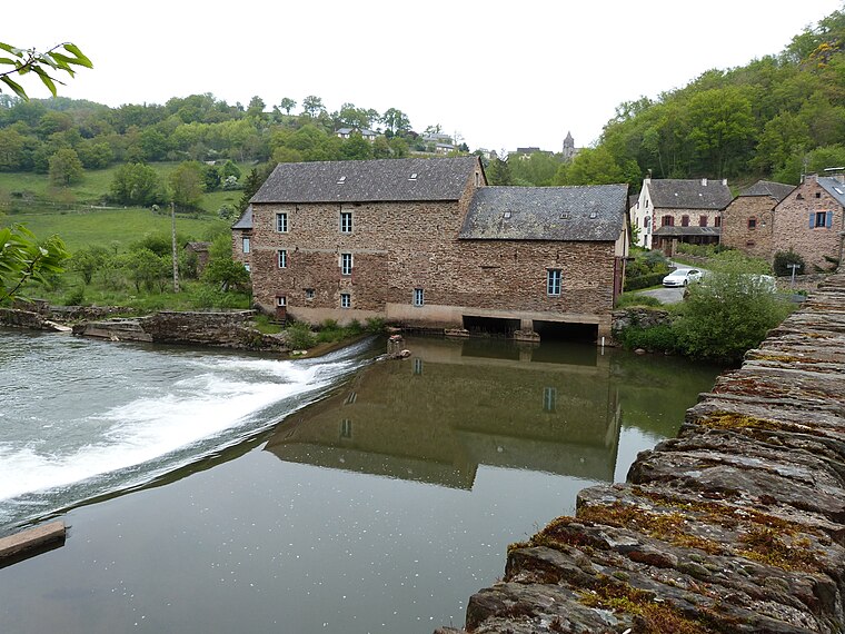
Photo: Thérèse Gaigé, CC BY-SA 4.0.
Druelle is a former commune in the Aveyron department in southern France. On 1 January 2017, it was merged into the new commune Druelle Balsac. Druelle is situated 5 km west of Jardins Chemin de l’Auterne.
Jardins Chemin de l’Auterne
- Type: Allotment garden
- Address: Chemin de l’Auterne, Rodez, 12000
- Location: Rodez, Arrondissement of Rodez, Aveyron, Occitanie, France, Europe
- View on OpenStreetMap
Latitude
44.35697° or 44° 21′ 25″ northLongitude
2.56721° or 2° 34′ 2″ eastOpen location code
8FP49H48+QVOpenStreetMap ID
way 456788272OpenStreetMap feature
landuse=allotments
This page is based on OpenStreetMap, Wikidata, and Wikimedia Commons.
We’d love your help improving our open data sources. Thank you for contributing.
Satellite Map
Discover Jardins Chemin de l’Auterne from above in high-definition satellite imagery.
Notable Places Nearby
Highlights include bassin d’orage du chemin de l’Auterne and Square Frédéric Mistral.
Nearby Places
Explore places such as Le Saint-Germain and Le Saint-Germain II.
Curious Allotment Gardens to Discover
Uncover intriguing allotment gardens from every corner of the globe.
About Mapcarta. Data © OpenStreetMap contributors and available under the Open Database License". Text is available under the CC BY-SA 4.0 license, except for photos, directions, and the map. Photo: Tournasol7, CC BY-SA 4.0.