BMI
BMI is in Hersbruck, Nürnberger Land, Bavaria. BMI is situated nearby to the railway station Hersbruck (links Pegnitz), as well as near the mosque Mescid-i Aksa Camii.| Tap on a place to explore it |
Places of Interest Nearby
Highlights include Hersbruck (links Pegnitz) and Schloss Hersbruck.
Hersbruck (links Pegnitz)
Railway station

Photo: H.G.Graser, CC BY-SA 3.0.
Hersbruck (links Pegnitz) is a railway station, which is situated 140 metres north of BMI.
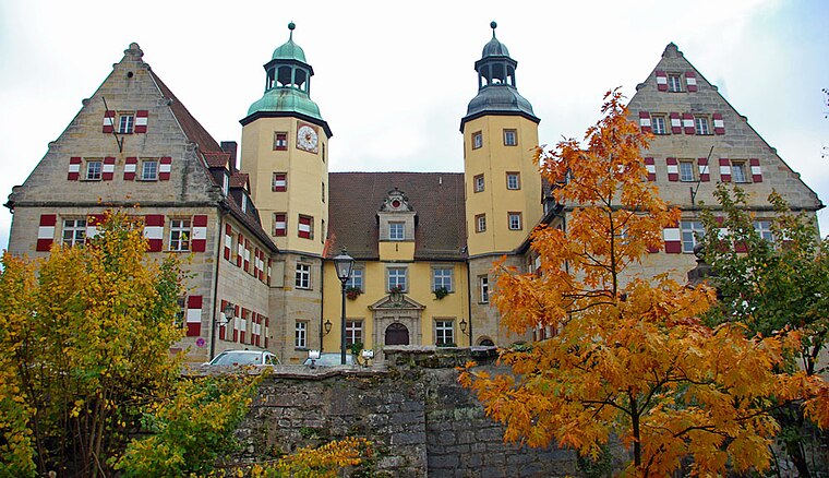
Rathaus in Hersbruck
Town hall

Photo: Tilman2007, CC BY-SA 4.0.
Rathaus in Hersbruck is a town hall, which is situated 1¼ km northwest of BMI.
Places in the Area
Nearby places include Weiher and Ellenbach.


Hersbruck
Town

Photo: Wikimedia, CC BY-SA 3.0.
Hersbruck is a small town in Middle Franconia, Bavaria, Germany, belonging to the district Nürnberger Land. It is best known for the late-gothic artwork of the Hersbruck altar, the "Hirtenmuseum" and the landscape of Hersbruck Switzerland.
BMI
- Type: Industry
- Location: Hersbruck, Nürnberger Land, Middle Franconia, Franconia, Bavaria, Germany, Central Europe, Europe
- View on OpenStreetMap
Latitude
49.49908° or 49° 29′ 57″ northLongitude
11.43524° or 11° 26′ 7″ eastOpen location code
8FXHFCXP+J3OpenStreetMap ID
way 45766069OpenStreetMap feature
landuse=industrial
This page is based on OpenStreetMap, Wikidata, and Wikimedia Commons.
We’d love your help improving our open data sources. Thank you for contributing.
Satellite Map
Discover BMI from above in high-definition satellite imagery.
Places with the Same Name
Discover other places named “BMI”.
Notable Places Nearby
Highlights include Bahnhof links der Pegnitz and Mescid-i Aksa Camii.
Nearby Places
Explore places such as Bayerische Maß-Industrie Arno Keller GmbH and Lidl.
Middle Franconia: Must-Visit Destinations
Delve into Nuremberg, Erlangen, Fürth, and Ansbach.
Curious Places to Discover
Uncover intriguing places from every corner of the globe.
About Mapcarta. Data © OpenStreetMap contributors and available under the Open Database License". Text is available under the CC BY-SA 4.0 license, except for photos, directions, and the map. Photo: Berthold Werner, CC0.