Zone Industrielle du Val de Calvigny
Zone Industrielle du Val de Calvigny is in Iwuy, Arrondissement of Cambrai, Hauts-de-France. Zone Industrielle du Val de Calvigny is situated nearby to the garden Étang d’Iwuy, as well as near the village Haspres.| Tap on a place to explore it |
Places of Interest Nearby
Highlights include Église Saint-Vaast d’Iwuy and Église Saint-Géry d’Hordain.
Église Saint-Vaast d’Iwuy
Church

Photo: Chatsam, CC BY-SA 3.0.
Église Saint-Vaast d’Iwuy is a church, which is situated 2 km south of Zone Industrielle du Val de Calvigny.
Église Saint-Géry d’Hordain
Church

Photo: Pierre André Leclercq, CC BY-SA 4.0.
Église Saint-Géry d’Hordain is a church, which is situated 2 km north of Zone Industrielle du Val de Calvigny.
Brasserie La Choulette
Brewery
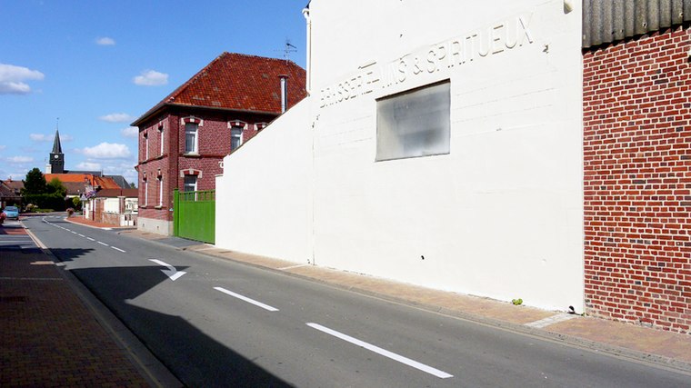
Photo: Wikimedia, CC BY-SA 4.0.
Brasserie La Choulette is a brewery, which is situated 1½ km northwest of Zone Industrielle du Val de Calvigny.
Places in the Area
Nearby places include Haspres and Douchy-les-Mines.
Haspres
Village

Photo: Friedrich Tellberg, Public domain.
Haspres is a commune in the Nord department in northern France. Haspres is situated 7 km east of Zone Industrielle du Val de Calvigny.
Douchy-les-Mines
Town

Photo: JÄNNICK Jérémy, Public domain.
Douchy-les-Mines is a commune in the Nord department in northern France. Douchy-les-Mines is situated 8 km northeast of Zone Industrielle du Val de Calvigny.
Saulzoir
Village

Photo: Jeanbourgeois, CC BY-SA 3.0.
Saulzoir is a commune in the Nord department in northern France. It is situated on the river Selle and has about 1700 inhabitants. The town was the site of Julius Caesar's battle against the Nervians. Saulzoir is situated 8 km east of Zone Industrielle du Val de Calvigny.
Zone Industrielle du Val de Calvigny
- Type: Industry
- Location: Iwuy, Arrondissement of Cambrai, North, Hauts-de-France, France, Europe
- View on OpenStreetMap
Latitude
50.24645° or 50° 14′ 47″ northLongitude
3.32269° or 3° 19′ 22″ eastOpen location code
9F2568WF+H3OpenStreetMap ID
way 460591836OpenStreetMap feature
landuse=industrial
This page is based on OpenStreetMap, Wikidata, and Wikimedia Commons.
We’d love your help improving our open data sources. Thank you for contributing.
Satellite Map
Discover Zone Industrielle du Val de Calvigny from above in high-definition satellite imagery.
Notable Places Nearby
Highlights include Étang d’Iwuy and Médiathèque.
Nearby Places
Explore places such as GSF Pluton Sud and Babyliss.
Hauts-de-France: Must-Visit Destinations
Delve into Lille, Dunkirk, Calais, and Amiens.
Curious Places to Discover
Uncover intriguing places from every corner of the globe.
About Mapcarta. Data © OpenStreetMap contributors and available under the Open Database License". Text is available under the CC BY-SA 4.0 license, except for photos, directions, and the map. Photo: LimoWreck, CC BY-SA 3.0.