Pista Deportiva Municipal de El Cosario
Pista Deportiva Municipal de El Cosario is a pitch in Vícar, Almería, Andalusia. Pista Deportiva Municipal de El Cosario is situated nearby to the park Plaza de Lola Flores, as well as near the peak Cerro Cuerno Toro.| Tap on a place to explore it |
Places of Interest Nearby
Highlights include Acueductos de la rambla de Carcauz and Colegio de Educación Infantil y Primaria Virgen de la Paz.
Acueductos de la rambla de Carcauz

Photo: Schumi4ever, CC BY-SA 4.0.
Acueductos de la rambla de Carcauz is situated 4 km northwest of Pista Deportiva Municipal de El Cosario.
Colegio de Educación Infantil y Primaria Virgen de la Paz
School

Photo: MdeVicente, CC0.
Colegio de Educación Infantil y Primaria Virgen de la Paz is a school, which is situated 3 km east of Pista Deportiva Municipal de El Cosario.
Places in the Area
Nearby places include La Mojonera and Roquetas de Mar.
La Mojonera
Village

Photo: Miguel.guadalinfo.lamojonera, CC BY-SA 4.0.
La Mojonera is a municipality of Almería province, in the autonomous community of Andalusia, Spain. La Mojonera is situated 5 km south of Pista Deportiva Municipal de El Cosario.
Roquetas de Mar
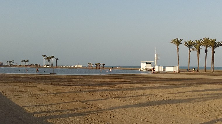
Photo: MdeVicente, CC0.
Roquetas de Mar is in Almeria. This is a low-key tourist resort town on the Mediterranean coast of Spain, about 18 km from the provincial capital city of Almeria.
Felix
Village

Photo: Dominique Sanchez, CC BY 2.0.
Felix is a municipality of Almería province, in the autonomous community of Andalusia, Spain. Felix is situated 8 km north of Pista Deportiva Municipal de El Cosario.
Pista Deportiva Municipal de El Cosario
- Type: Pitch
- Categories: recreation area and sports location
- Location: Vícar, Almería, Andalusia, Spain, Iberia, Europe
- View on OpenStreetMap
Latitude
36.79826° or 36° 47′ 54″ northLongitude
-2.67995° or 2° 40′ 48″ westOpen location code
8C8VQ8XC+82OpenStreetMap ID
way 461930875OpenStreetMap feature
leisure=pitchOpenStreetMap feature
sport=multi
This page is based on OpenStreetMap, Wikidata, and Wikimedia Commons.
We’d love your help improving our open data sources. Thank you for contributing.
Satellite Map
Discover Pista Deportiva Municipal de El Cosario from above in high-definition satellite imagery.
Notable Places Nearby
Highlights include Plaza de Lola Flores and Cerro Cuerno Toro.
Nearby Places
Explore places such as Estación de Inspección Técnica de Vehículos de Vícar and Subestación de Cosario.
Almería: Must-Visit Destinations
Delve into Almería, Sierra Nevada, Roquetas de Mar, and Adra.
Curious Pitches to Discover
Uncover intriguing pitches from every corner of the globe.
About Mapcarta. Data © OpenStreetMap contributors and available under the Open Database License". Text is available under the CC BY-SA 4.0 license, except for photos, directions, and the map. Photo: isol, CC BY-SA 3.0.