Policía Local
Policía Local is a police station in La Matanza de Acentejo, Santa Cruz de Tenerife. Policía Local is situated nearby to the town hall Ayuntamiento de La Matanza de Acentejo, as well as near the library Biblioteca Municipal de la Matanza.| Tap on a place to explore it |
Places of Interest Nearby
Highlights include Church of Nuestra Señora de La Encarnacion and Ermita de Nuestra Señora de los Ángeles.
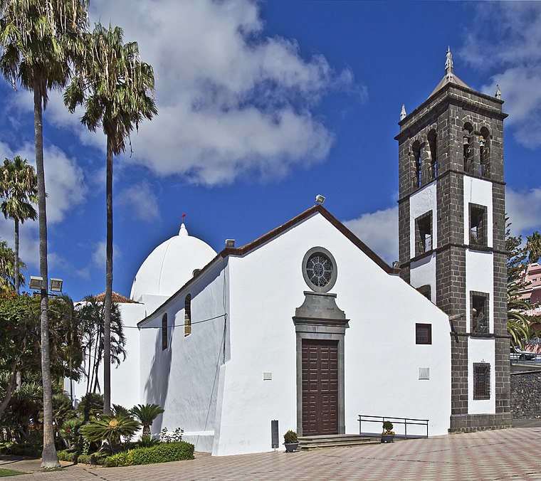
Church of Nuestra Señora de La Encarnacion
Church

Photo: Koppchen, CC BY-SA 3.0.
Church of Nuestra Señora de La Encarnacion is situated 2 km southwest of Policía Local.
Ermita de Nuestra Señora de los Ángeles
Church

Photo: Pbm, CC BY-SA 3.0.
Ermita de Nuestra Señora de los Ángeles is a church, which is situated 3½ km northeast of Policía Local.
San Pedro Apóstol Church, El Sauzal
Church
 San Pedro Apóstol Church, El Sauzal is situated 4 km northeast of Policía Local.
Places in the Area
Nearby places include El Sauzal and El Sauzal.

El Sauzal
 El Sauzal is a town and a municipality in the northeastern part of the island of Tenerife, Canary Islands, Spain. It is located on the north coast, 12 km west of San Cristóbal de La Laguna, 13 km northeast of La Orotava and 18 km west of the island's capital, Santa Cruz de Tenerife.
La Corujera
Suburb

Photo: Martely, CC BY-SA 4.0.
La Corujera is a suburb, which is situated 5 km southwest of Policía Local.
Policía Local
- Type: Police station
- Category: building
- Location: La Matanza de Acentejo, Santa Cruz de Tenerife, Canary Islands, Spain, Iberia, Europe
- View on OpenStreetMap
Latitude
28.44804° or 28° 26′ 53″ northLongitude
-16.45717° or 16° 27′ 26″ westLevels
2Operator
Municipal policeOpen location code
7CW5CGXV+64OpenStreetMap ID
way 463641104OpenStreetMap feature
amenity=policeOpenStreetMap feature
building=yes
This page is based on OpenStreetMap, Wikidata, and Wikimedia Commons.
We’d love your help improving our open data sources. Thank you for contributing.
Satellite Map
Discover Policía Local from above in high-definition satellite imagery.
Places with the Same Name
Discover other places named “Policía Local”.
Notable Places Nearby
Highlights include Ayuntamiento de La Matanza de Acentejo and Biblioteca Municipal de la Matanza.
Nearby Places
Explore places such as Achimencey Tinguaro and Café el Rincón.
Canary Islands: Must-Visit Destinations
Delve into Santa Cruz de Tenerife, Las Palmas, La Palma, and La Gomera.
Curious Police Stations to Discover
Uncover intriguing police stations from every corner of the globe.
About Mapcarta. Data © OpenStreetMap contributors and available under the Open Database License". Text is available under the CC BY-SA 4.0 license, except for photos, directions, and the map. Photo: Wikimedia, CC BY-SA 4.0.