Lüssumer Eisenwarenhandel
Lüssumer Eisenwarenhandel is a supermarket in Schwanewede, Osterholz, Lower Saxony. Lüssumer Eisenwarenhandel is situated nearby to the police station Polizeistation Schwanewede, as well as near the health club Körperformen.| Tap on a place to explore it |
Places of Interest Nearby
Highlights include St.-Johannes-Kirche and Burgwall-Stadion.
St.-Johannes-Kirche
Church

Photo: Exprimidor, CC BY-SA 4.0.
St.-Johannes-Kirche is a church, which is situated 1½ km north of Lüssumer Eisenwarenhandel.
Burgwall-Stadion
Stadium
The Burgwall-Stadion is a football stadium in the northernmost part of the German city of Bremen. The Burgwall Stadium is the competition and training facility of the Blumenthaler SV, the district sports facility at Burgwall, which includes the stadium, three football pitches and a hall. Burgwall-Stadion is situated 4 km south of Lüssumer Eisenwarenhandel.
Barrack Wilhelmine
Museum

Photo: Jocian, CC BY-SA 3.0.
Barrack Wilhelmine is a museum, which is situated 3½ km west of Lüssumer Eisenwarenhandel.
Places in the Area
Nearby places include Schwanewede and Blumenthal.
Schwanewede
Town

Photo: ClausNe, CC BY-SA 4.0.
Schwanewede is a municipality in the district of Osterholz, in Lower Saxony, Germany. It is situated approximately 14 km west of Osterholz-Scharmbeck, and 22 km northwest of Bremen.
Blumenthal
Suburb
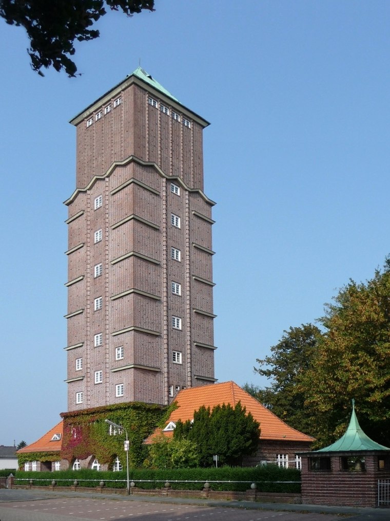
Photo: Joern M, CC BY-SA 3.0.
Blumenthal is a suburb, which is situated 5 km south of Lüssumer Eisenwarenhandel.
Farge
Quarter

Photo: Wikimedia, CC BY-SA 3.0.
Farge is a small village in the borough Blumenthal of Bremen, Germany. It is located at the river Weser. The bombing of Bremen in World War II attacked Farge targets, including the oil storage. Farge is situated 5 km southwest of Lüssumer Eisenwarenhandel.
Lüssumer Eisenwarenhandel
- Type: Supermarket
- Categories: building, shop, and food
- Location: Schwanewede, Osterholz, Lower Saxony, Germany, Central Europe, Europe
- View on OpenStreetMap
Latitude
53.22243° or 53° 13′ 21″ northLongitude
8.59494° or 8° 35′ 42″ eastOpen location code
9F5C6HCV+XXOpenStreetMap ID
way 465113318OpenStreetMap feature
building=yesOpenStreetMap feature
shop=supermarket
This page is based on OpenStreetMap, Wikidata, and Wikimedia Commons.
We’d love your help improving our open data sources. Thank you for contributing.
Satellite Map
Discover Lüssumer Eisenwarenhandel from above in high-definition satellite imagery.
Notable Places Nearby
Highlights include Polizeistation Schwanewede and Körperformen.
Nearby Places
Explore places such as Hol Ab and Am Markt.
Lower Saxony: Must-Visit Destinations
Delve into Hanover, Göttingen, Brunswick, and Wolfsburg.
Curious Supermarkets to Discover
Uncover intriguing supermarkets from every corner of the globe.
About Mapcarta. Data © OpenStreetMap contributors and available under the Open Database License". Text is available under the CC BY-SA 4.0 license, except for photos, directions, and the map. Photo: Danapit, CC BY-SA 3.0.