Gasthof Heining
Gasthof Heining is a building in Pressath, Neustadt an der Waldnaab, Bavaria which is located on Bahnhofstraße. Gasthof Heining is situated nearby to the park Prof.-Dietl-Anlage, as well as near the sports venue DJK Pressath.| Tap on a place to explore it |
Places of Interest Nearby
Highlights include St. Georg and Castle Weihersberg.
St. Georg
Church

Photo: A. Köppl, CC BY-SA 4.0.
St. Georg is a church, which is situated 380 metres northwest of Gasthof Heining.
Castle Weihersberg
Castle

Photo: A. Köppl, CC BY-SA 4.0.
Castle Weihersberg is situated 2½ km north of Gasthof Heining.
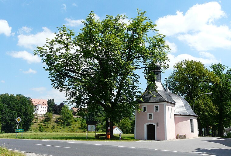
Franz-von-Paula-Kapelle
Church

Photo: A. Köppl, CC BY-SA 4.0.
Franz-von-Paula-Kapelle is a church, which is situated 2 km north of Gasthof Heining.
Places in the Area
Nearby places include Weihersberg and Zessau.
Zessau
Village

Photo: ME.Z, CC BY-SA 4.0.
Zessau is a village, which is situated 3 km north of Gasthof Heining.
Burkhardsreuth
Village

Photo: Karl2006, Public domain.
Burkhardsreuth is a village, which is situated 5 km northwest of Gasthof Heining.
Gasthof Heining
- Type: Building
- Address: Bahnhofstraße 38, Pressath, 92690
- Location: Pressath, Neustadt an der Waldnaab, Upper Palatinate, Bavaria, Germany, Central Europe, Europe
- View on OpenStreetMap
Latitude
49.76661° or 49° 45′ 60″ northLongitude
11.93569° or 11° 56′ 9″ eastOpen location code
8FXHQW8P+J7OpenStreetMap ID
way 465621805OpenStreetMap feature
building=yes
This page is based on OpenStreetMap, Wikidata, and Wikimedia Commons.
We’d love your help improving our open data sources. Thank you for contributing.
Satellite Map
Discover Gasthof Heining from above in high-definition satellite imagery.
Notable Places Nearby
Highlights include Prof.-Dietl-Anlage and DJK Pressath.
Nearby Places
Explore places such as Gasthof Heining and Kriegerdenkmal.
Upper Palatinate: Must-Visit Destinations
Delve into Regensburg, Amberg, Cham, and Schwandorf.
Curious Buildings to Discover
Uncover intriguing buildings from every corner of the globe.
About Mapcarta. Data © OpenStreetMap contributors and available under the Open Database License". Text is available under the CC BY-SA 4.0 license, except for photos, directions, and the map. Photo: Wikimedia, CC0.