Kläranlage Salem-Buggensegel
Kläranlage Salem-Buggensegel is a wastewater treatment plant in Salem, Bodenseekreis, Baden-Württemberg. Kläranlage Salem-Buggensegel is situated nearby to the fire station Feuerwehrgerätehaus Salem-Buggensegel, as well as near the peak Bremgarten.| Tap on a place to explore it |
Places of Interest Nearby
Highlights include Burgstall Margarethenberg and Rathaus Bermatingen.
Burgstall Margarethenberg
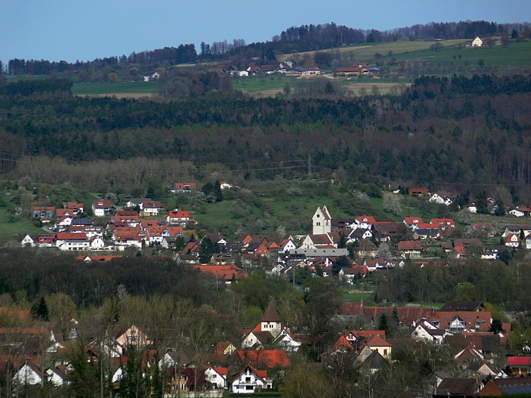
Scenic viewpoint

Photo: DKrieger, CC BY-SA 3.0.
Burgstall Margarethenberg is a scenic viewpoint, which is situated 1 km west of Kläranlage Salem-Buggensegel.
Rathaus Bermatingen
Town hall
 Rathaus Bermatingen is a town hall, which is situated 3 km southeast of Kläranlage Salem-Buggensegel.
St. Georg
Church

Photo: Rauenstein, CC BY-SA 3.0.
St. Georg is a church, which is situated 2 km southwest of Kläranlage Salem-Buggensegel.
Places in the Area
Nearby places include Leutkirch and Bermatingen.

Bermatingen
Village
 Bermatingen is a commune in the district of Bodensee in Baden-Württemberg in Germany. Bermatingen is situated 3 km southeast of Kläranlage Salem-Buggensegel.
Uhldingen-Mühlhofen

Photo: Traveler100, CC BY-SA 3.0.
Uhldingen-Mühlhofen is a municipality at the northern shore of Lake Constance, Germany between Überlingen and Meersburg. The town is a popular holiday destination and home to the Pfahlbauten open-air museum in Unteruhldingen and the Birnau basilica.
Kläranlage Salem-Buggensegel
- Type: Wastewater treatment plant
- Category: industry
- Location: Salem, Bodenseekreis, Tübingen Region, Baden-Württemberg, Germany, Central Europe, Europe
- View on OpenStreetMap
Latitude
47.74582° or 47° 44′ 45″ northLongitude
9.31383° or 9° 18′ 50″ eastOpen location code
8FVFP8W7+8GOpenStreetMap ID
way 473191271OpenStreetMap feature
man_made=wastewater_plant
This page is based on OpenStreetMap, Wikidata, and Wikimedia Commons.
We’d love your help improving our open data sources. Thank you for contributing.
Satellite Map
Discover Kläranlage Salem-Buggensegel from above in high-definition satellite imagery.
Notable Places Nearby
Highlights include Feuerwehrgerätehaus Salem-Buggensegel and Bremgarten.
Nearby Places
Explore places such as In den Auen and Pferdestallpension Haug.
Baden-Württemberg: Must-Visit Destinations
Delve into Stuttgart, Heidelberg, Karlsruhe, and Mannheim.
Curious Wastewater Treatment Plants to Discover
Uncover intriguing wastewater treatment plants from every corner of the globe.
About Mapcarta. Data © OpenStreetMap contributors and available under the Open Database License". Text is available under the CC BY-SA 4.0 license, except for photos, directions, and the map. Photo: Traveler100, CC BY-SA 3.0.